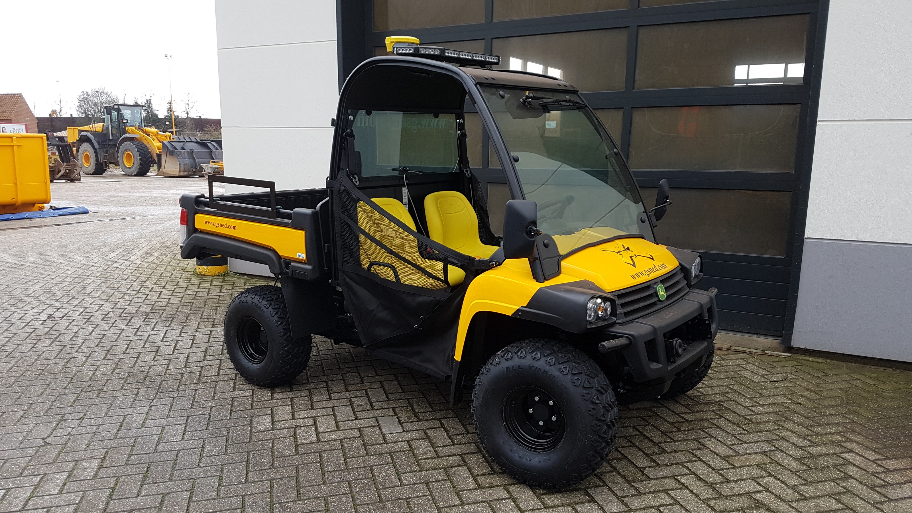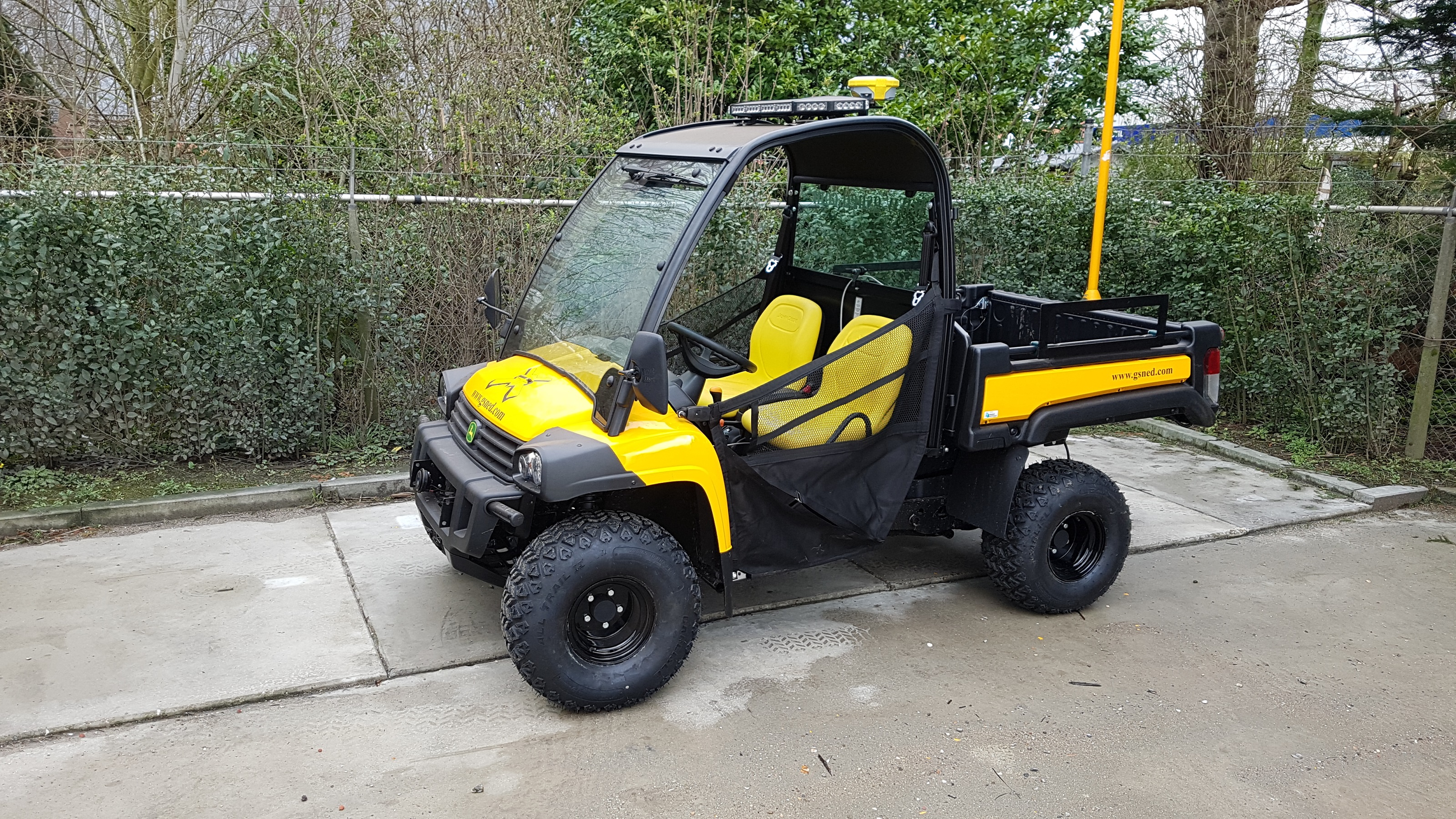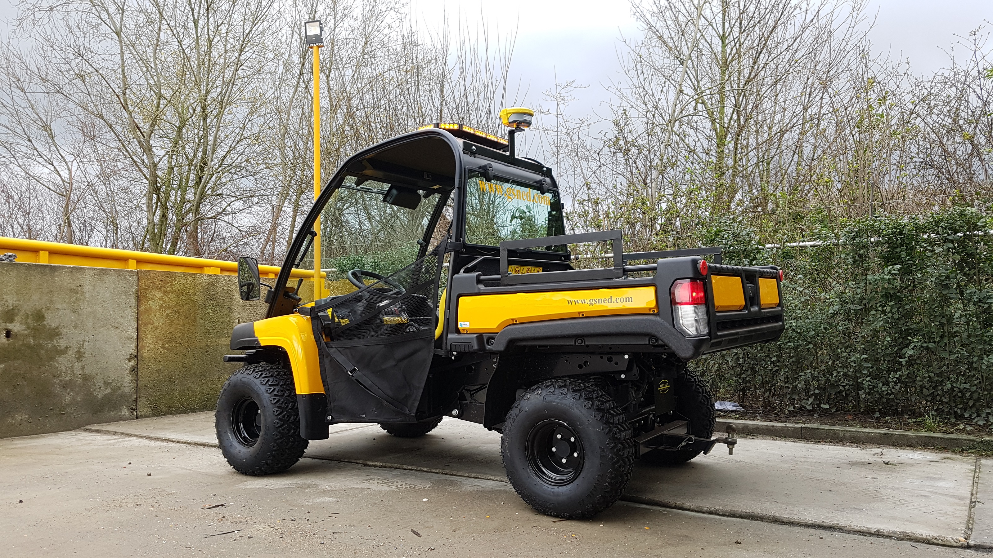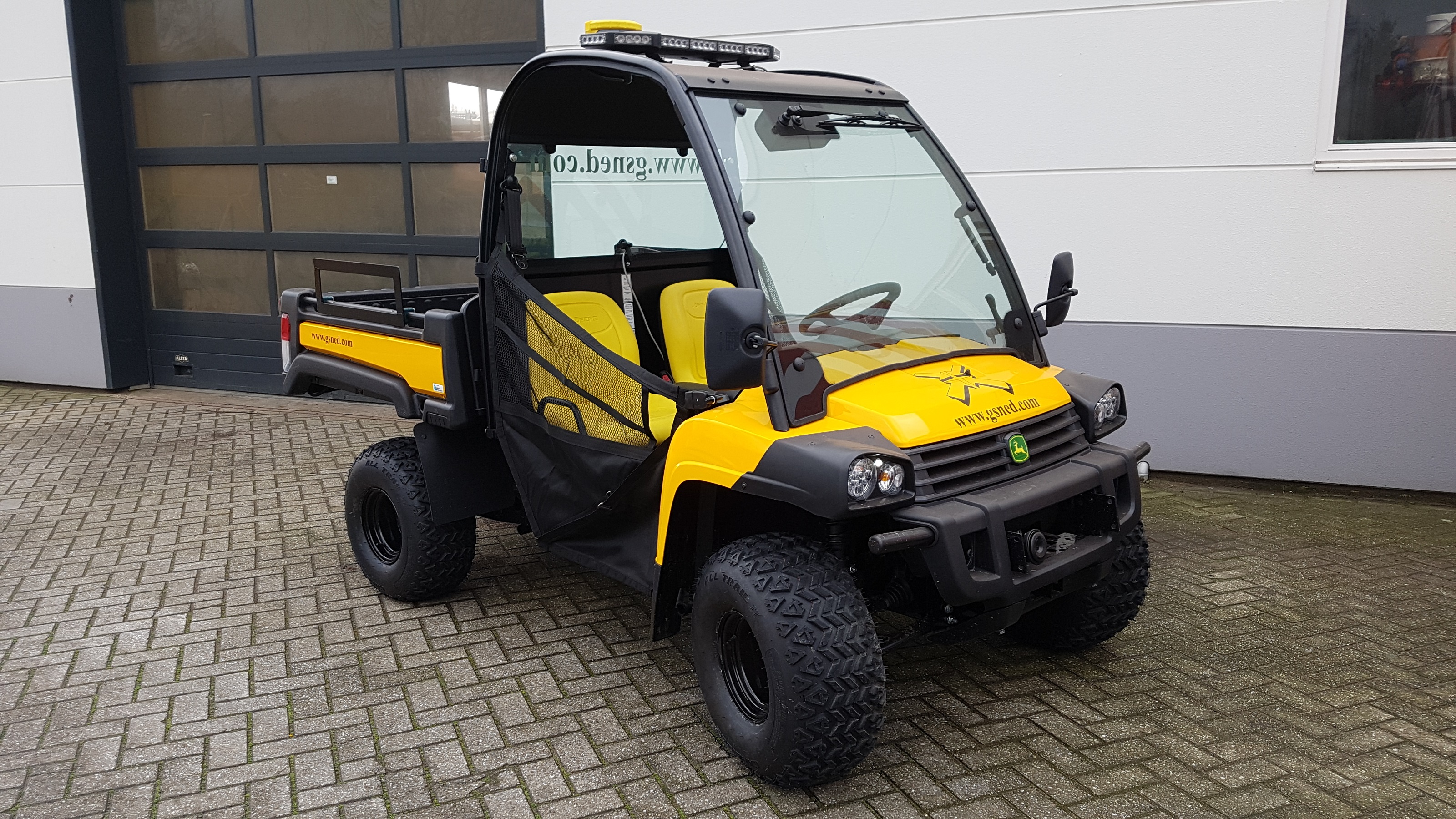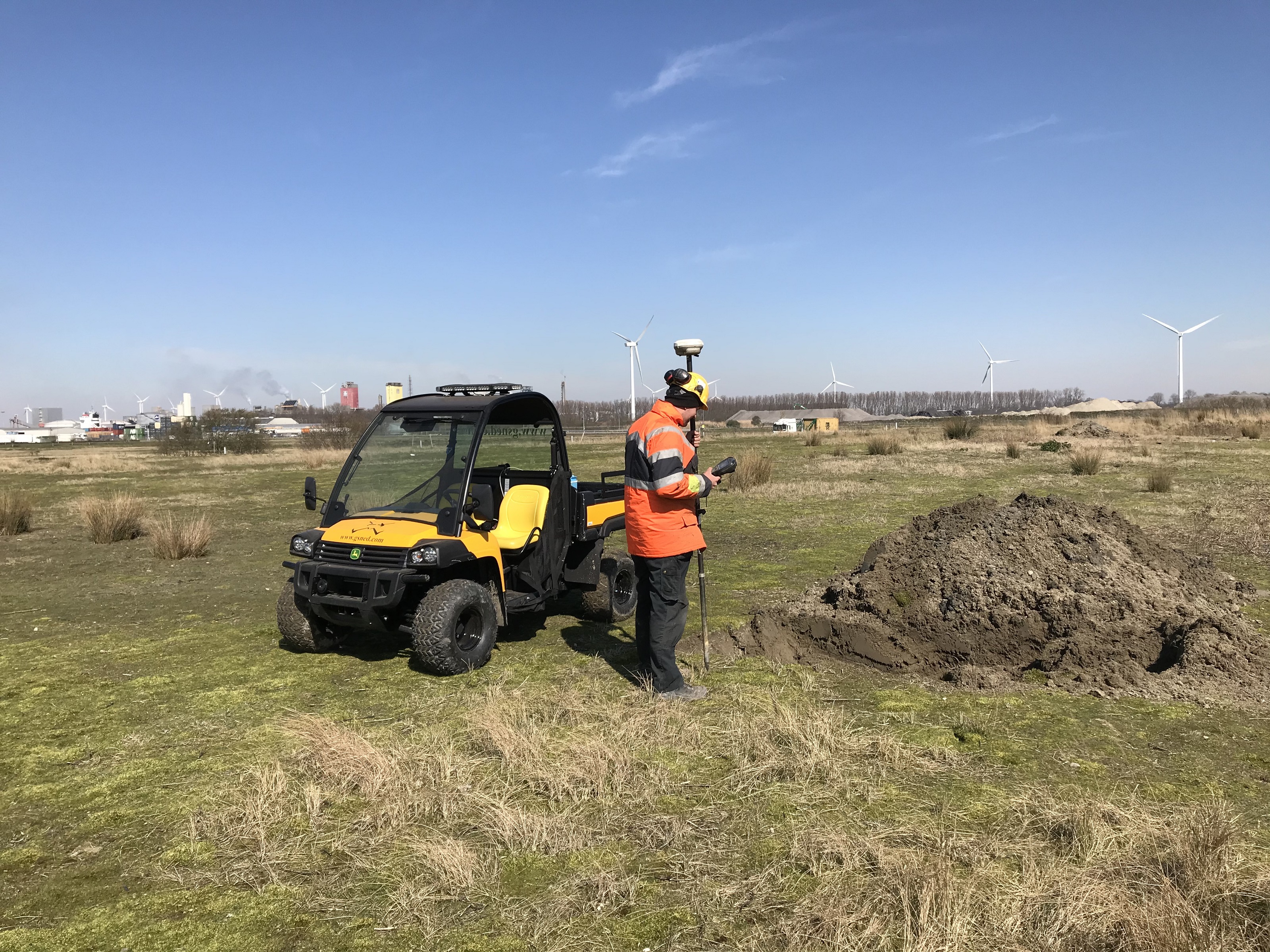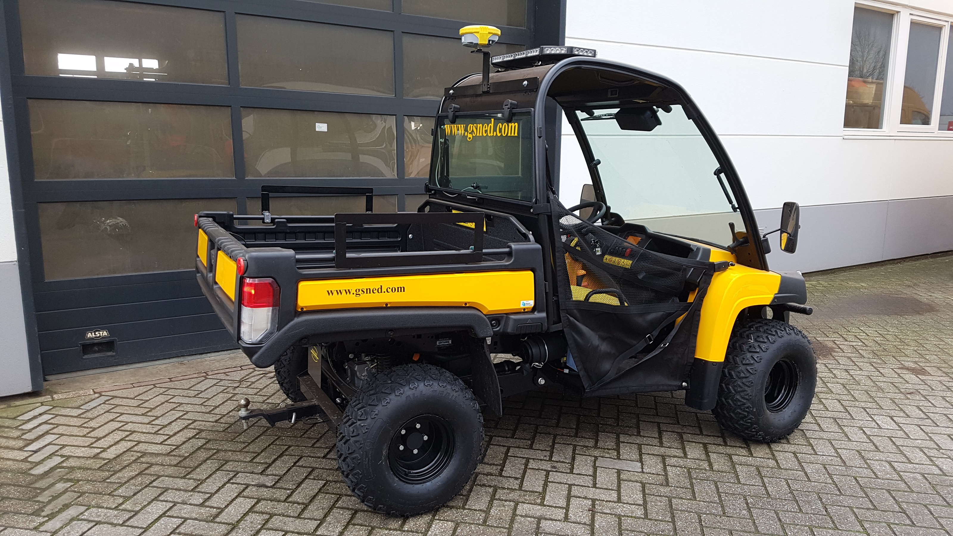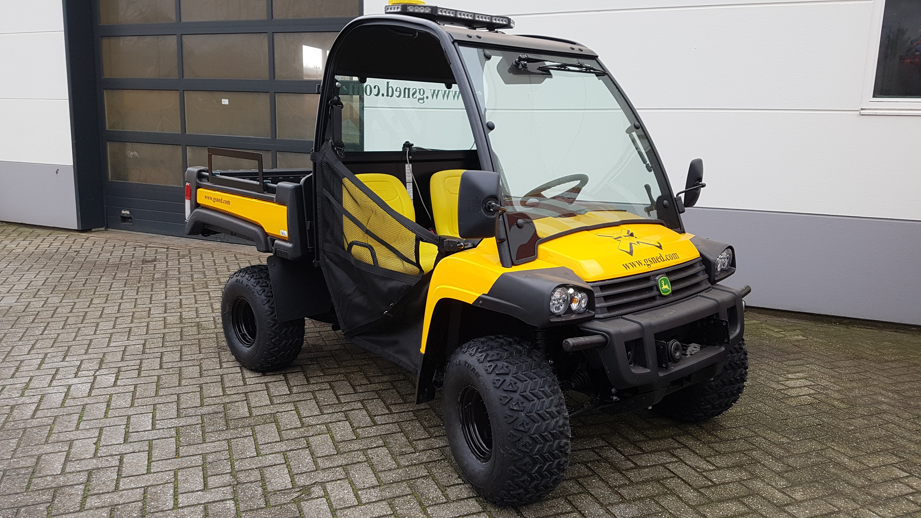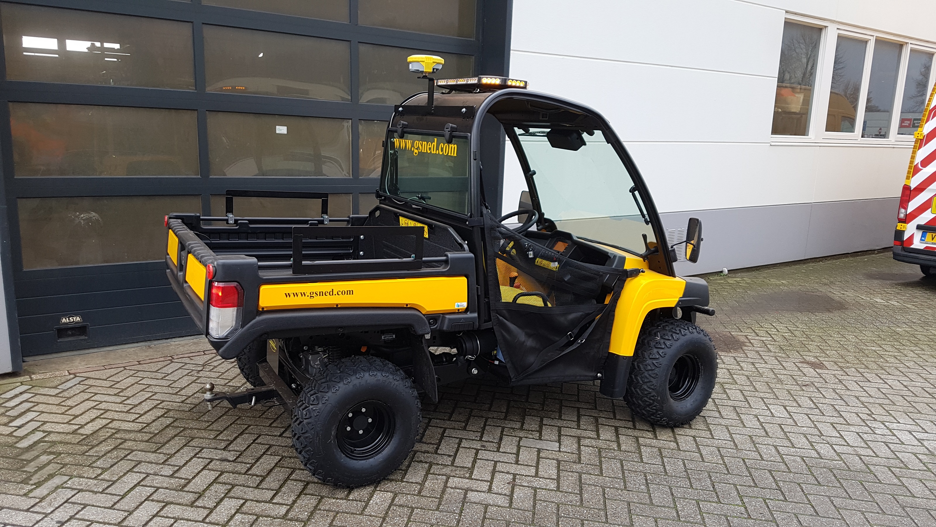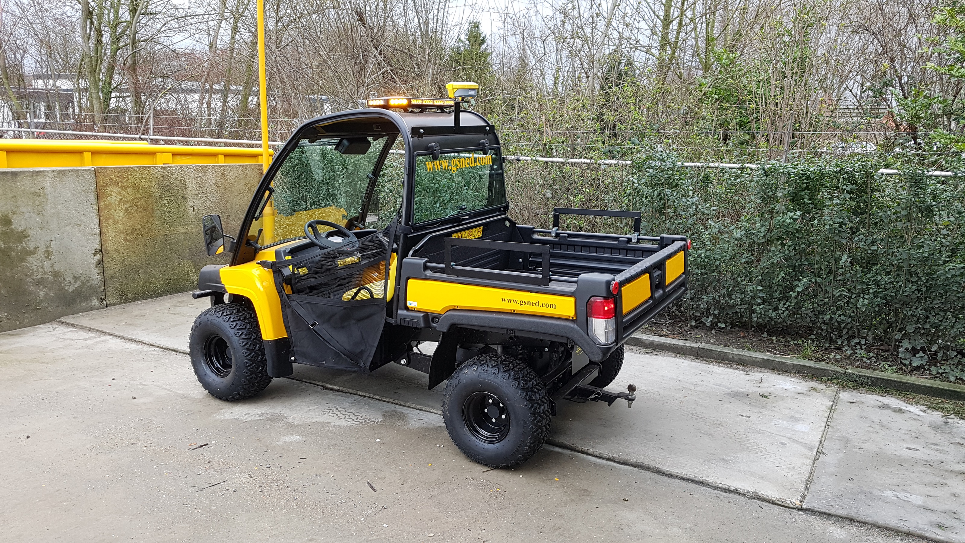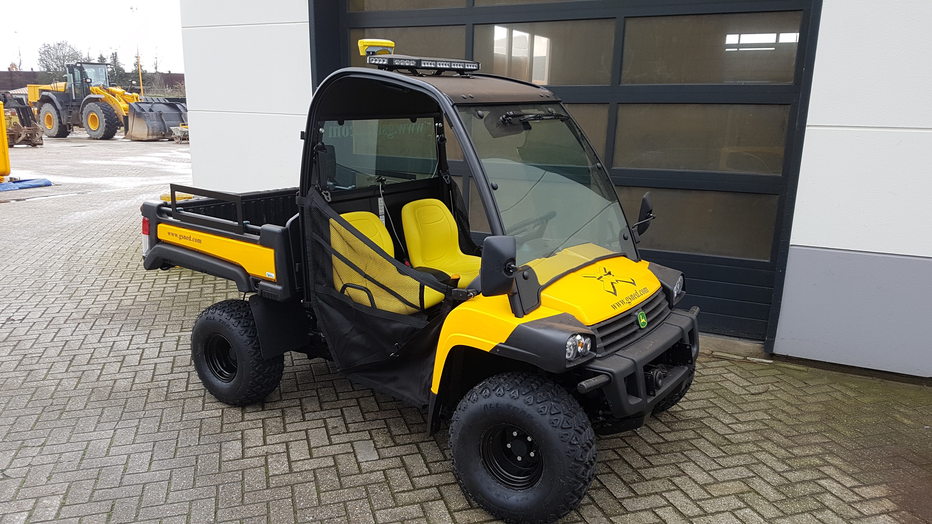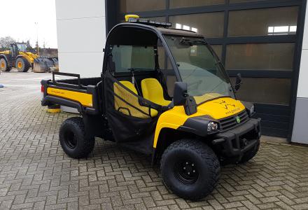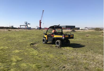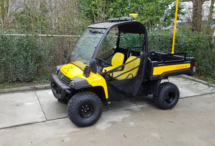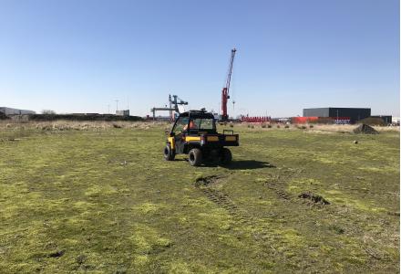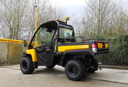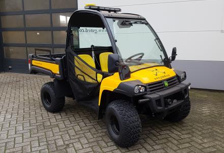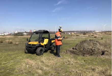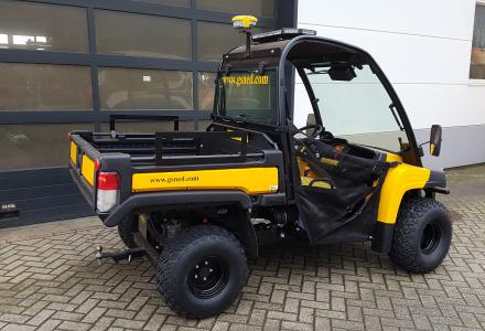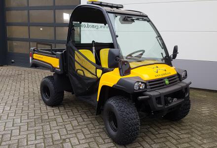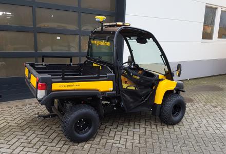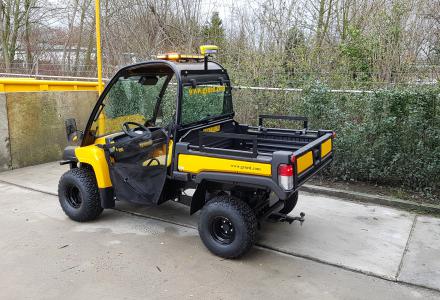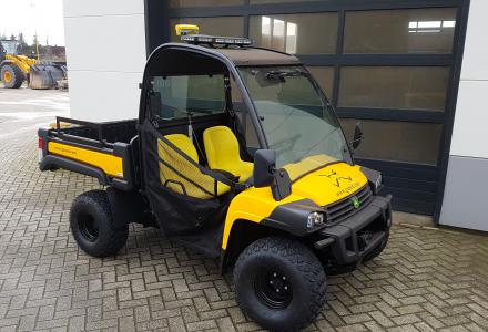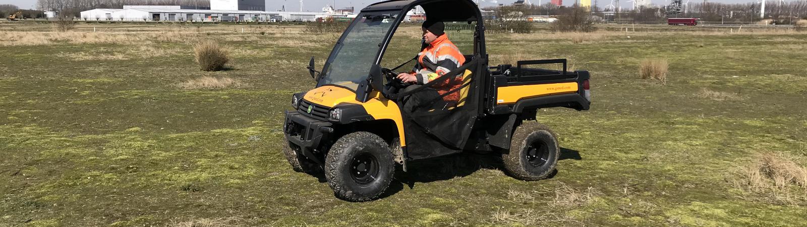
GSNED Survey Gator 4x4
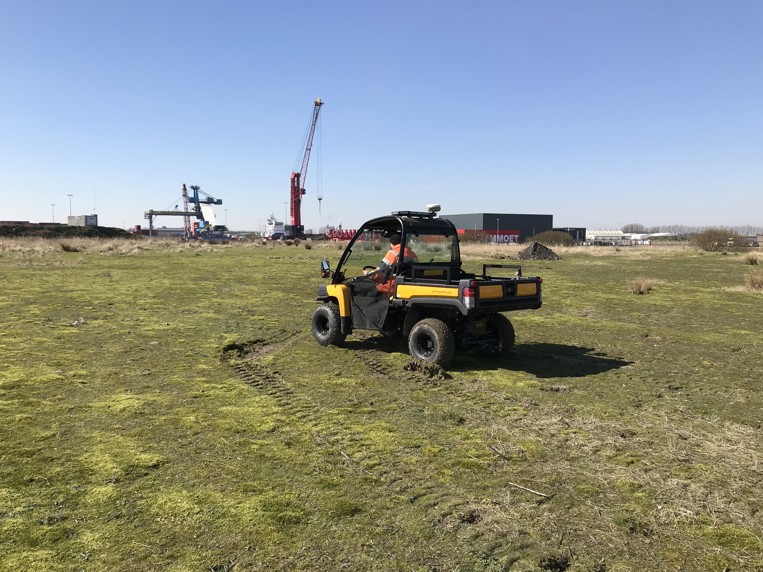
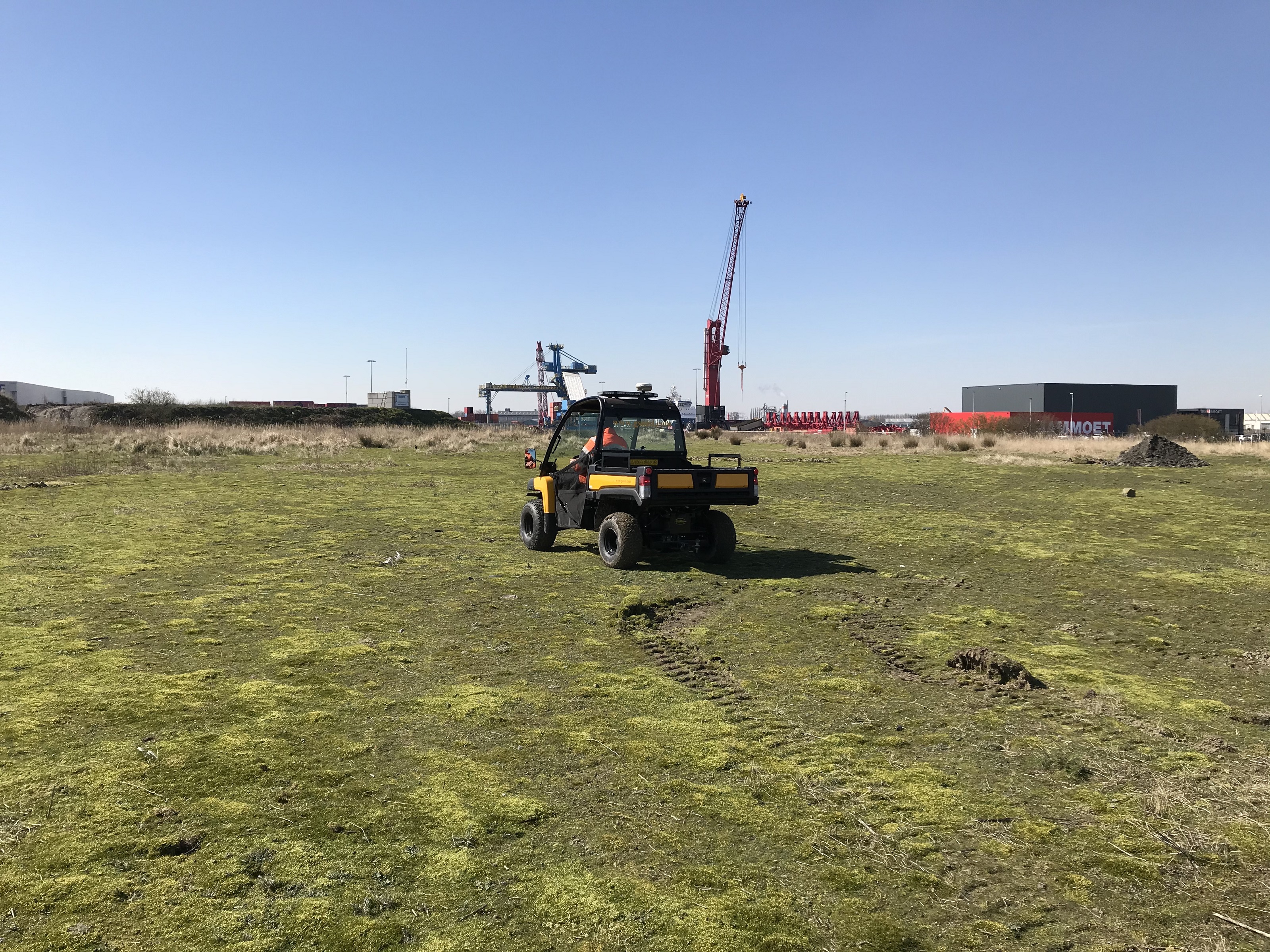
With our custom Gator we can effortlessly take continuous GPS measurements. Due to the high ground clearance in combination with the switchable 4x4 drive and limited slip differential, many types of terrain can be quickly mapped. We have adapted this Gator to be able to measure GPS as efficiently and reliably as possible. This is an ideal way to e.g. map ground level measurements of (medium) large areas using GPS.
The measurements can be set at a distance or time according to customer requirements at predetermined intervals. We can then process these measurements into a final result on the drawing desired by the customer. This can e.g. serve as the purpose to make volume measurements for excavation / completion of an area or to make an estimate for this before starting work.