

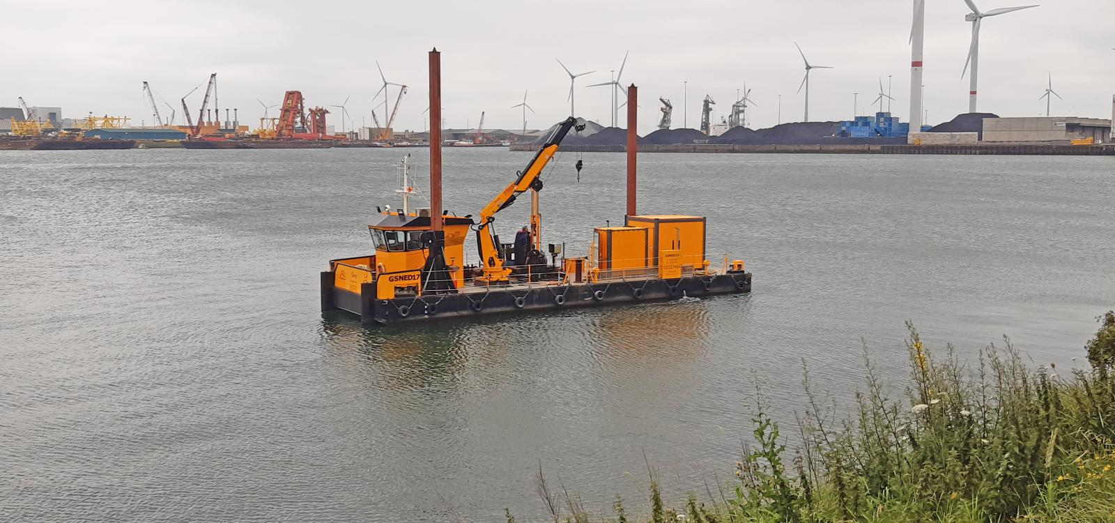
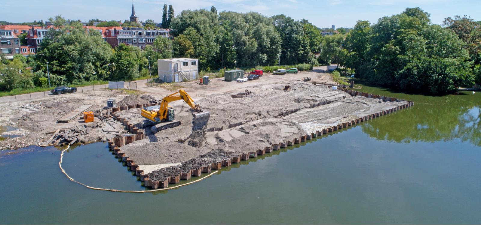
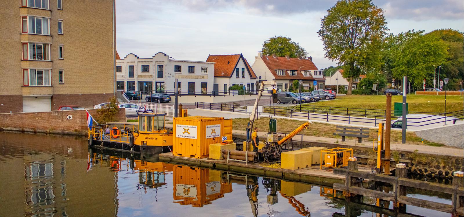
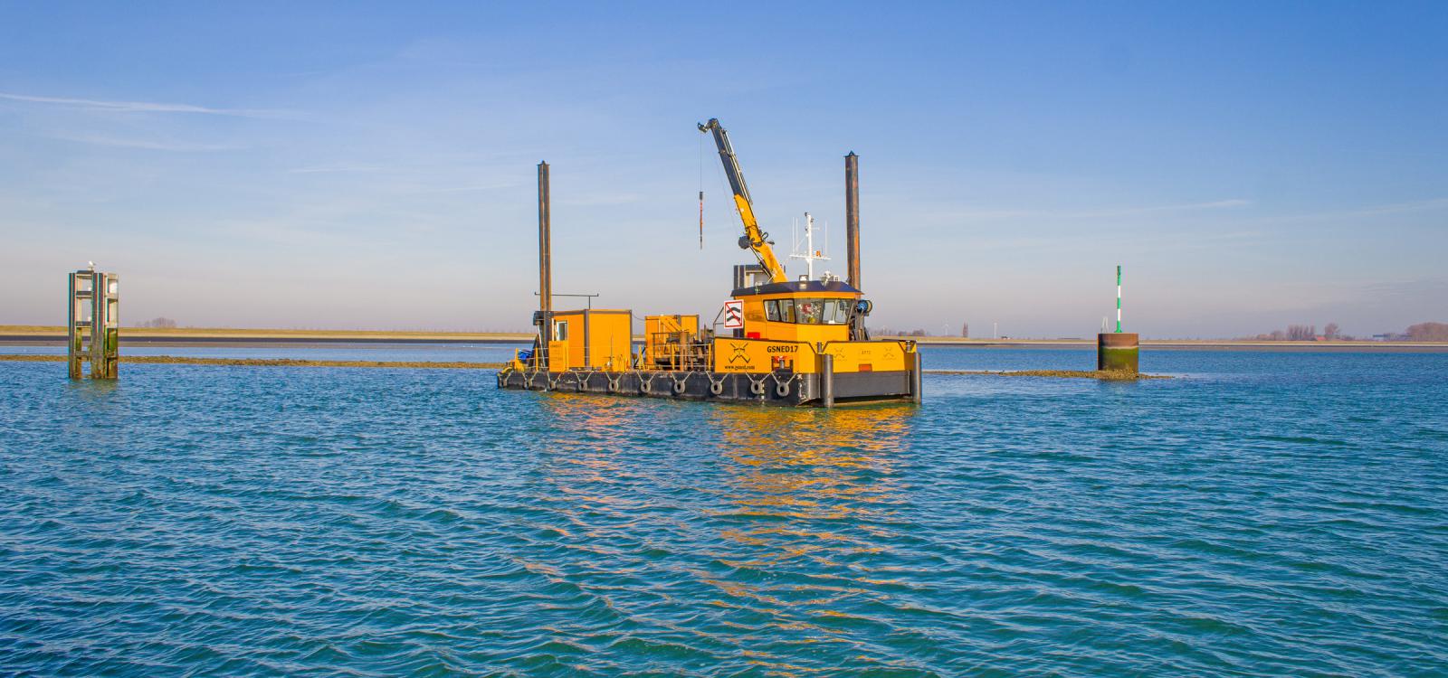
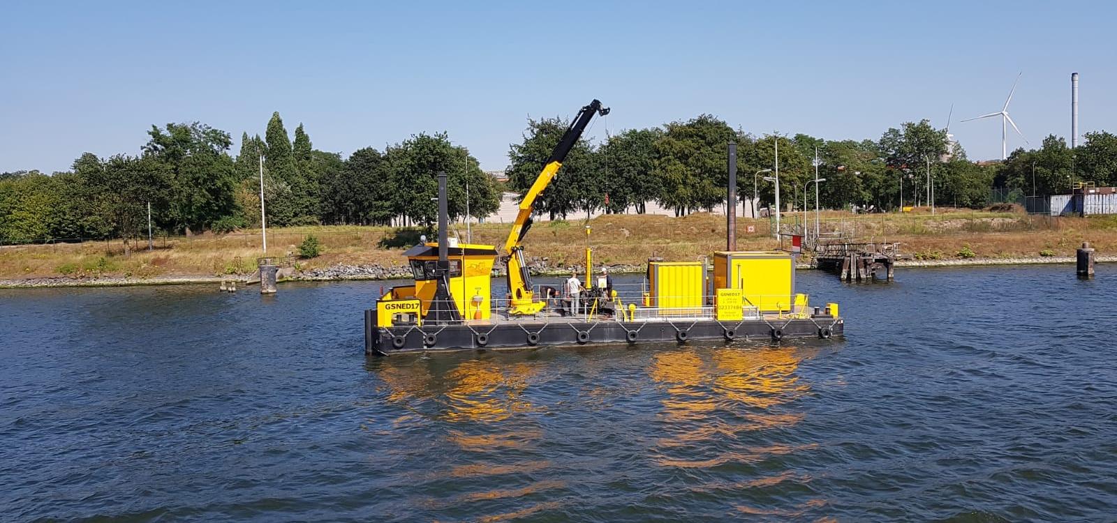
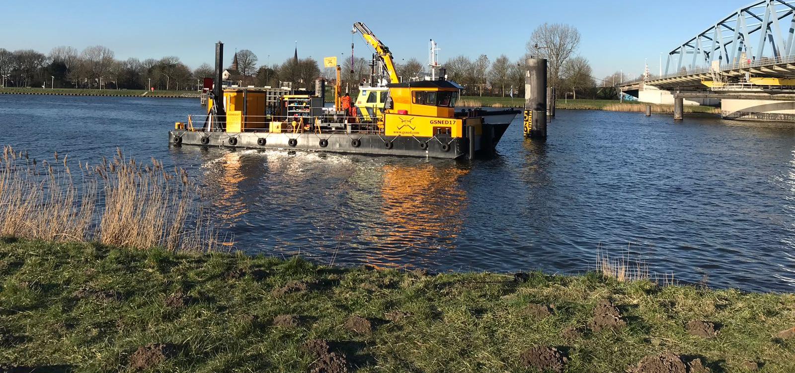
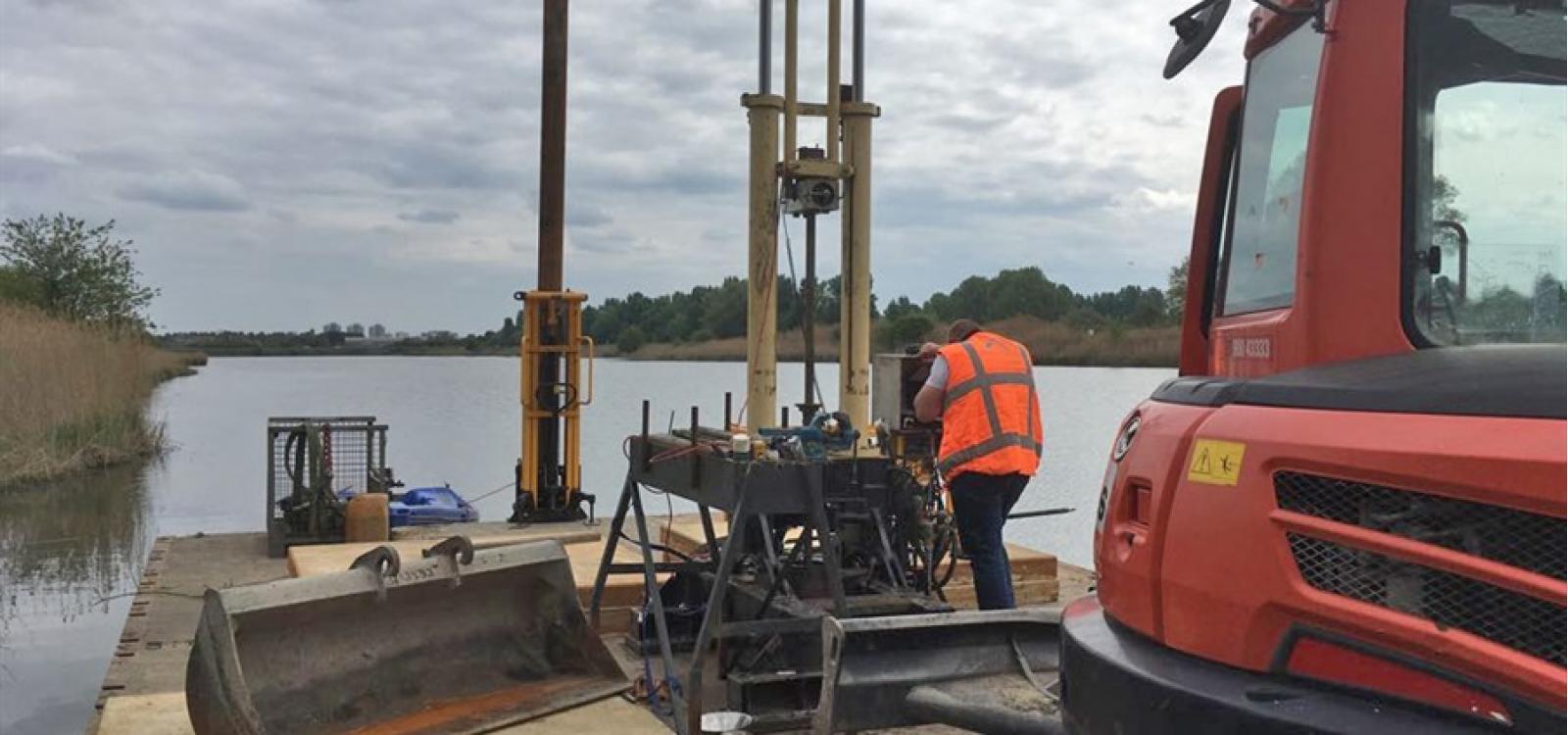
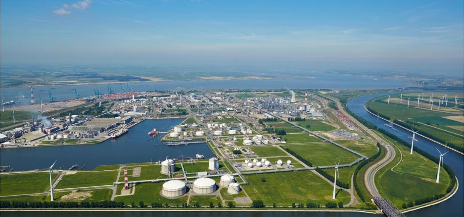
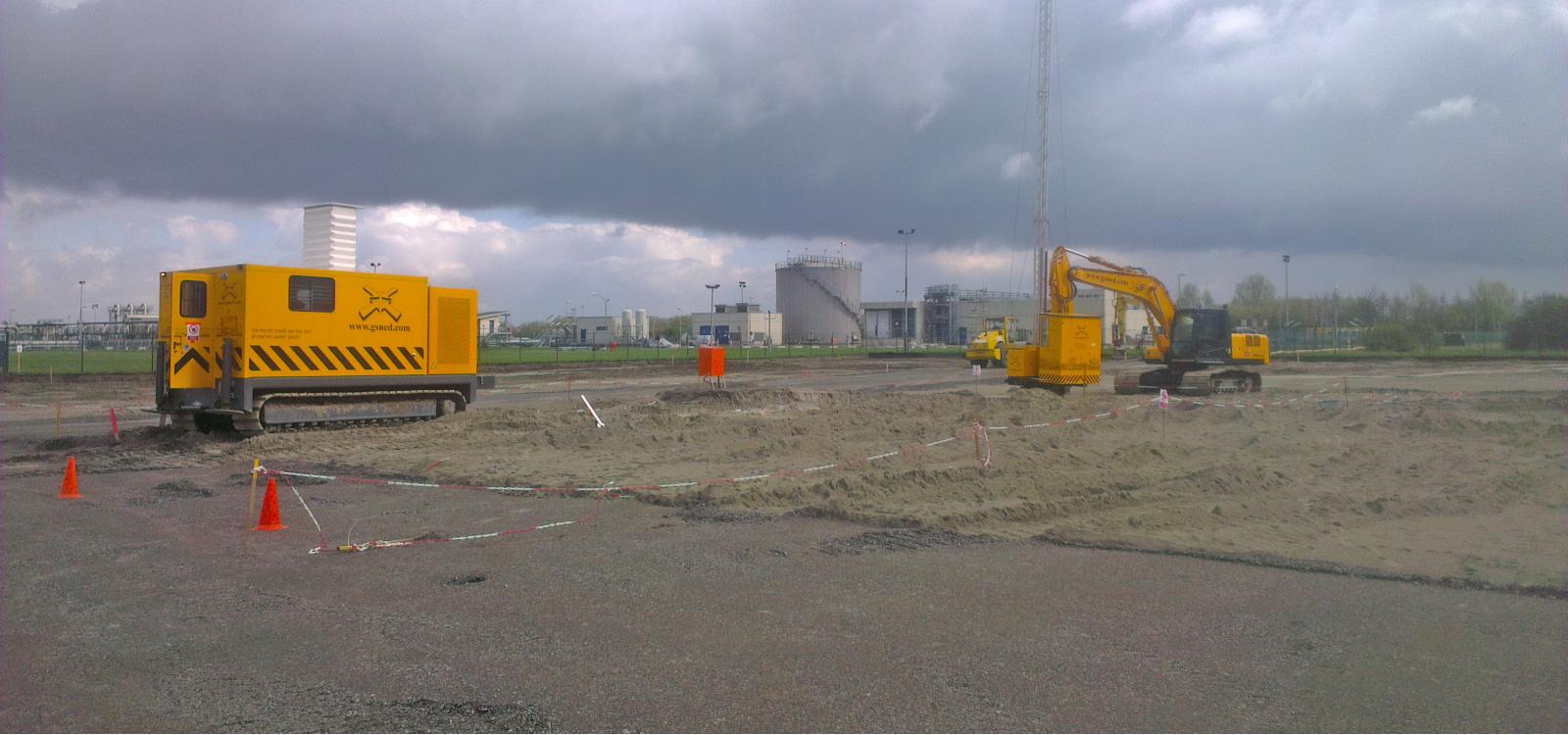
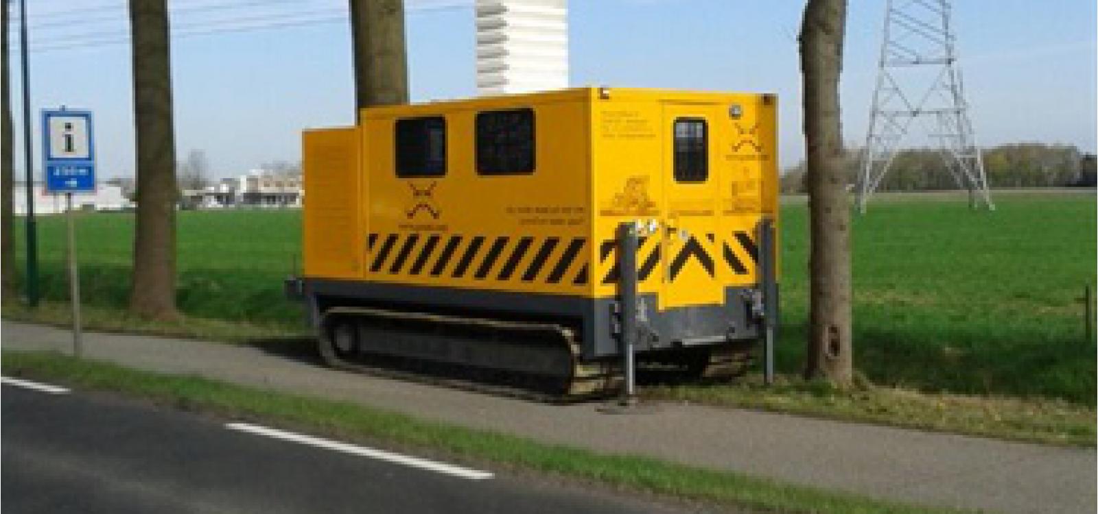
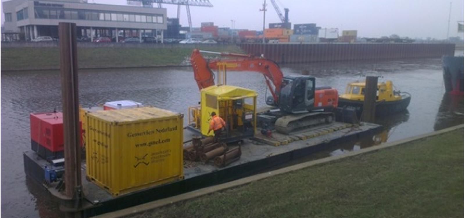
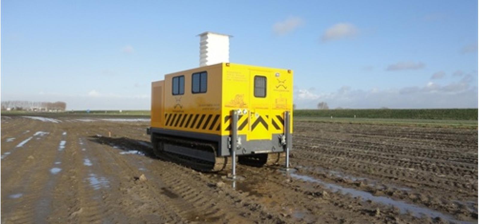
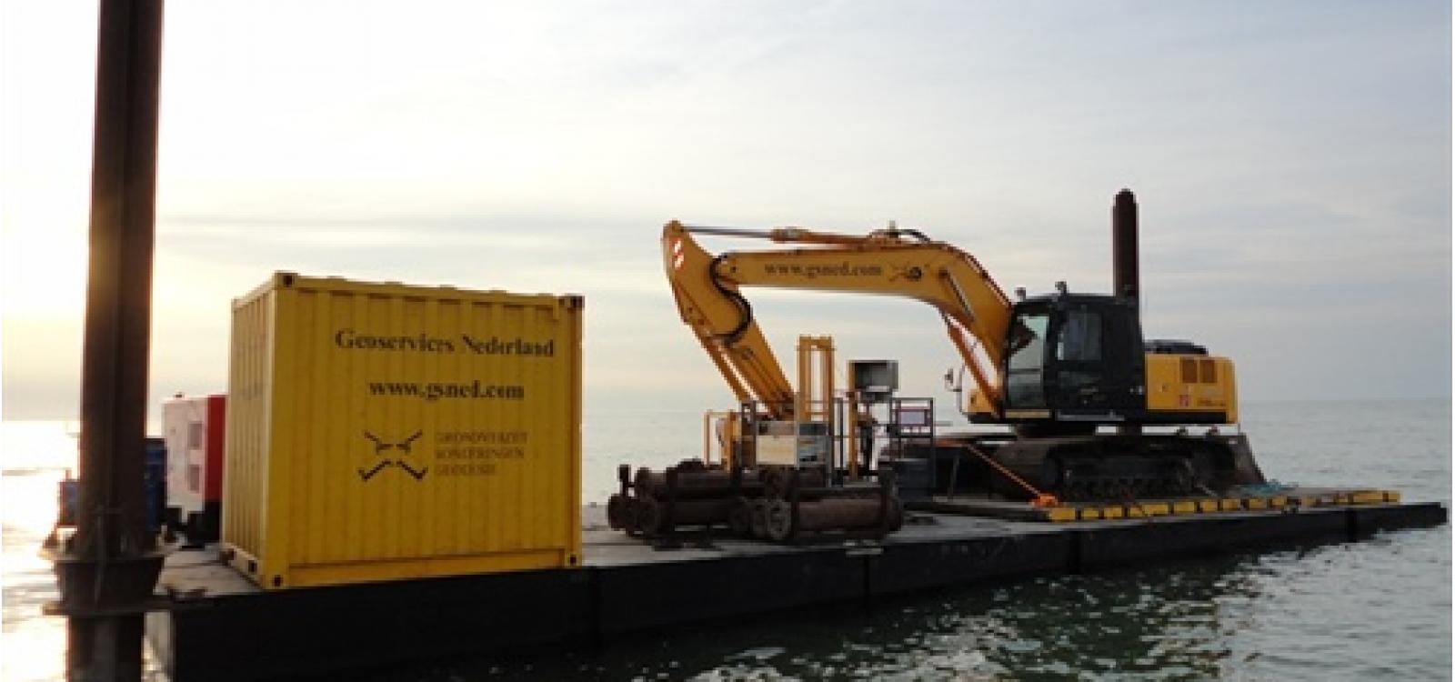
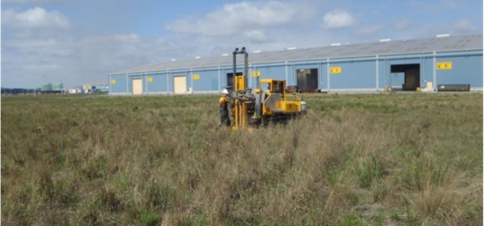
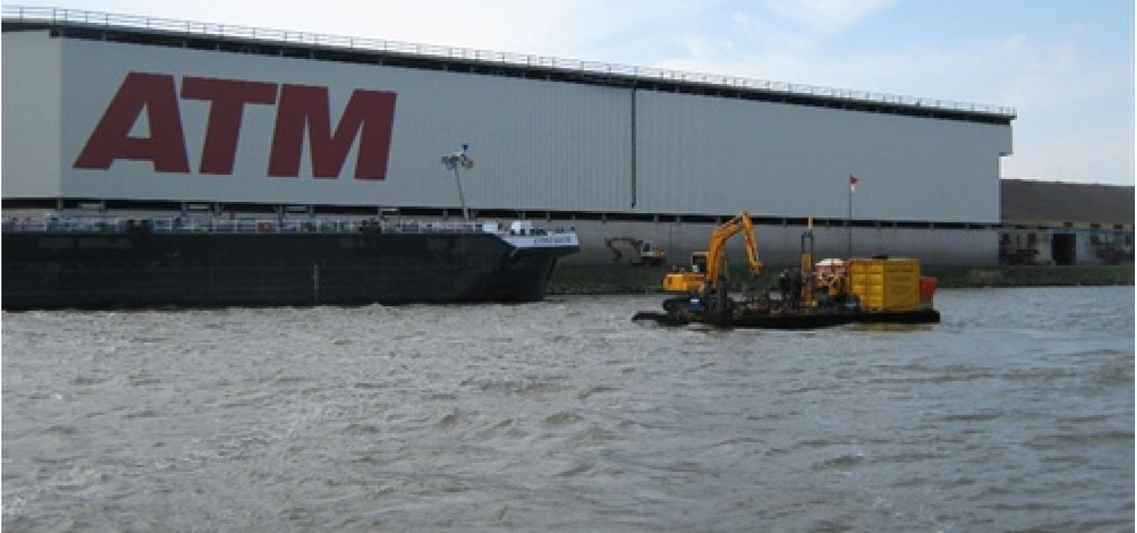
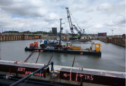
Watersonderingen in de Kraayerthaven Vlissingen
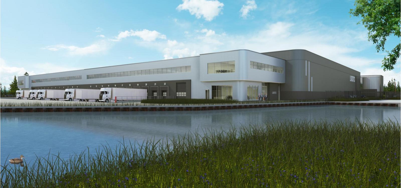
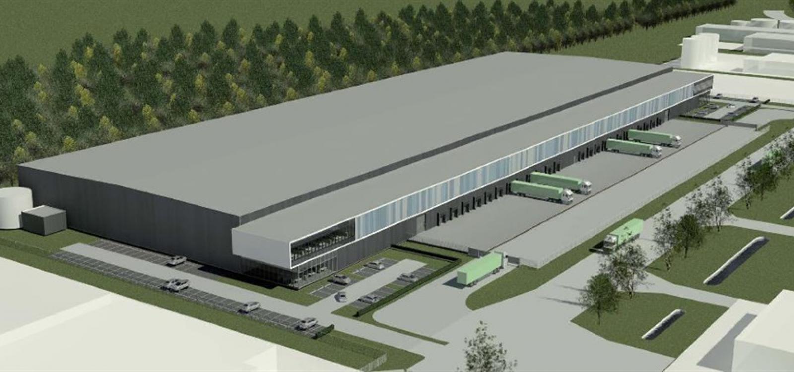
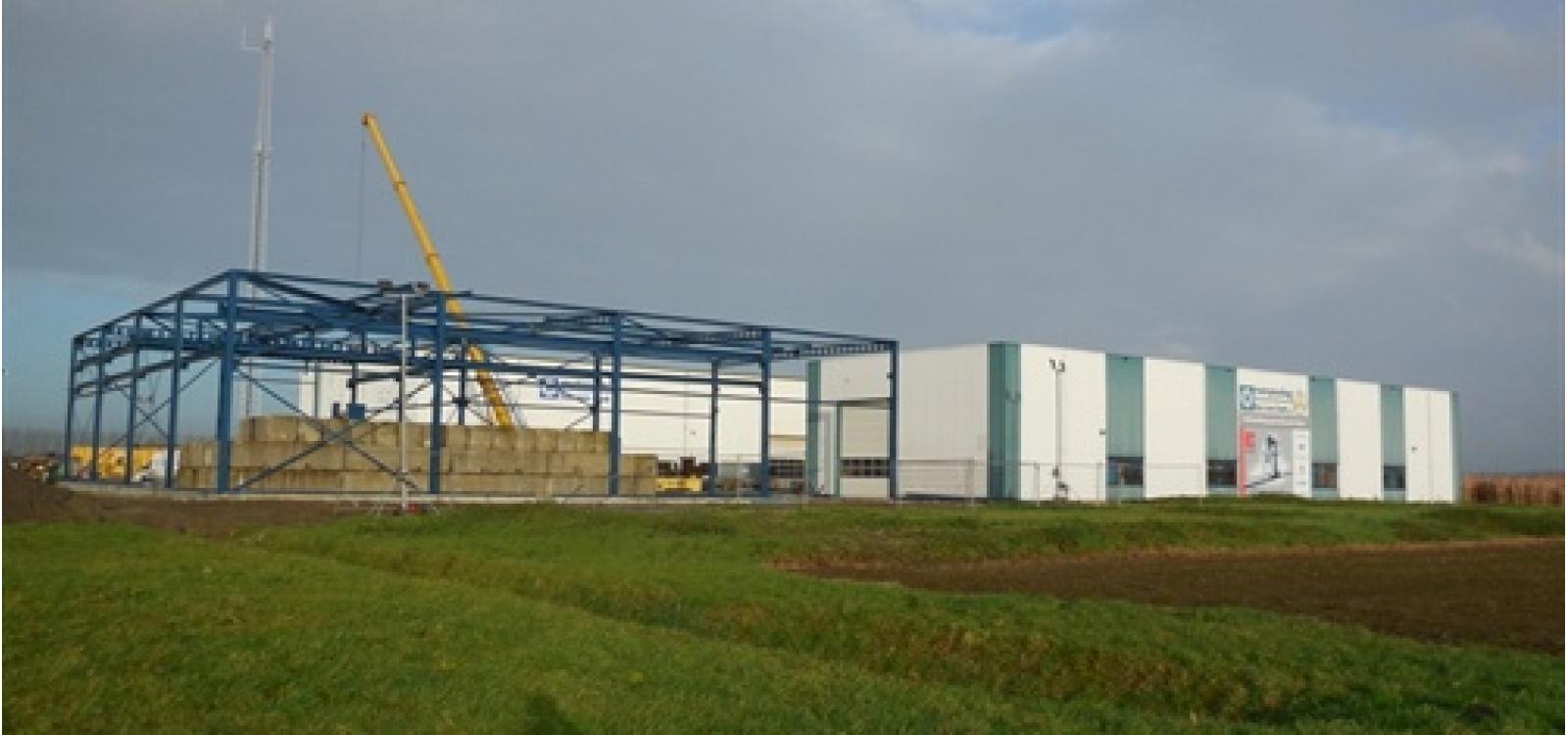
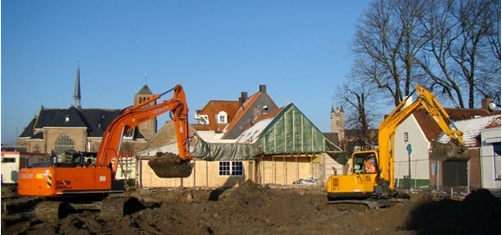
ASK Romein heeft in Vlissingen-Oost aan het huidige perceel van Hillebrand, de...

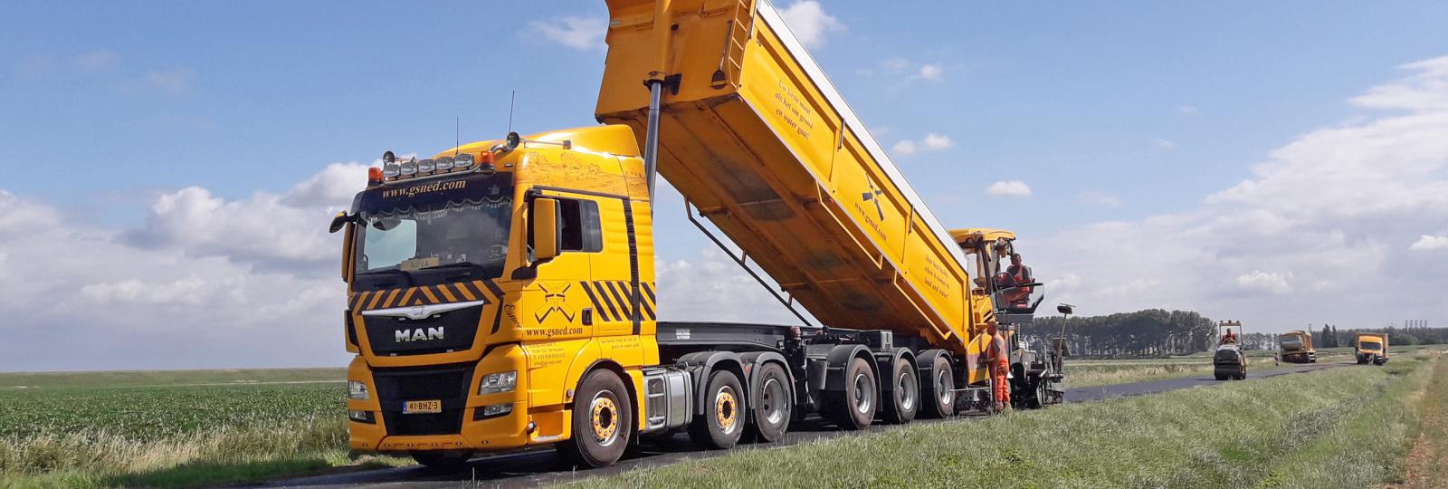
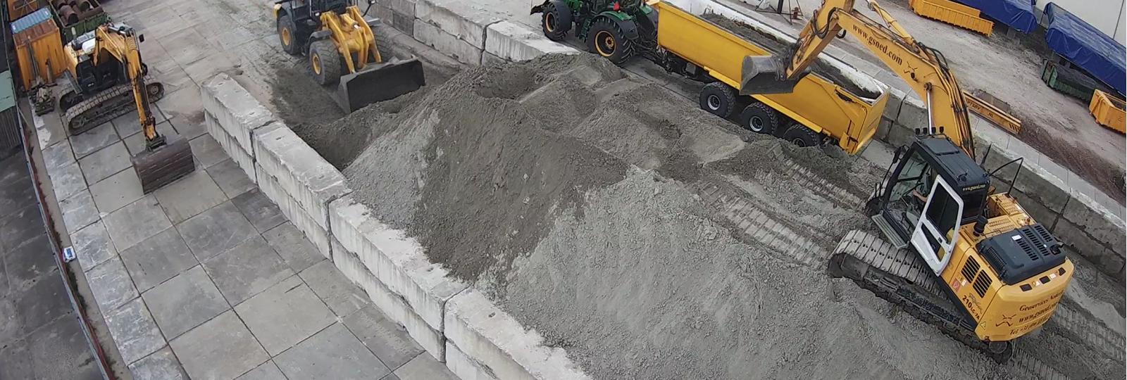
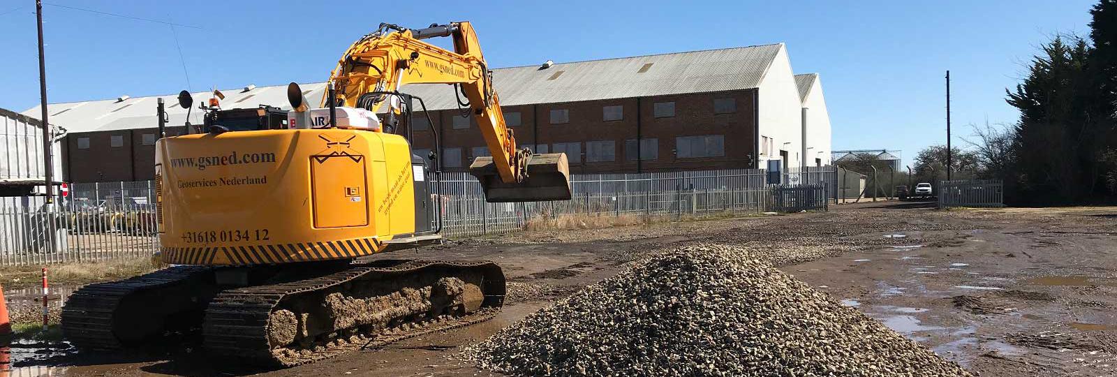
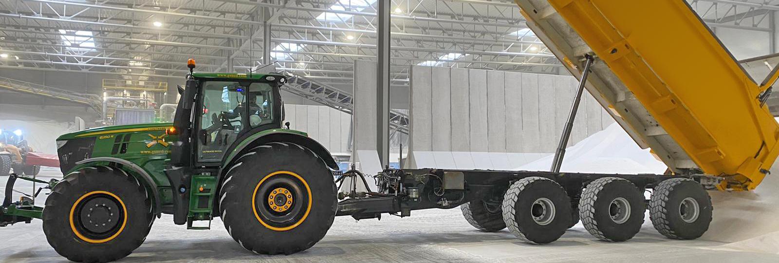
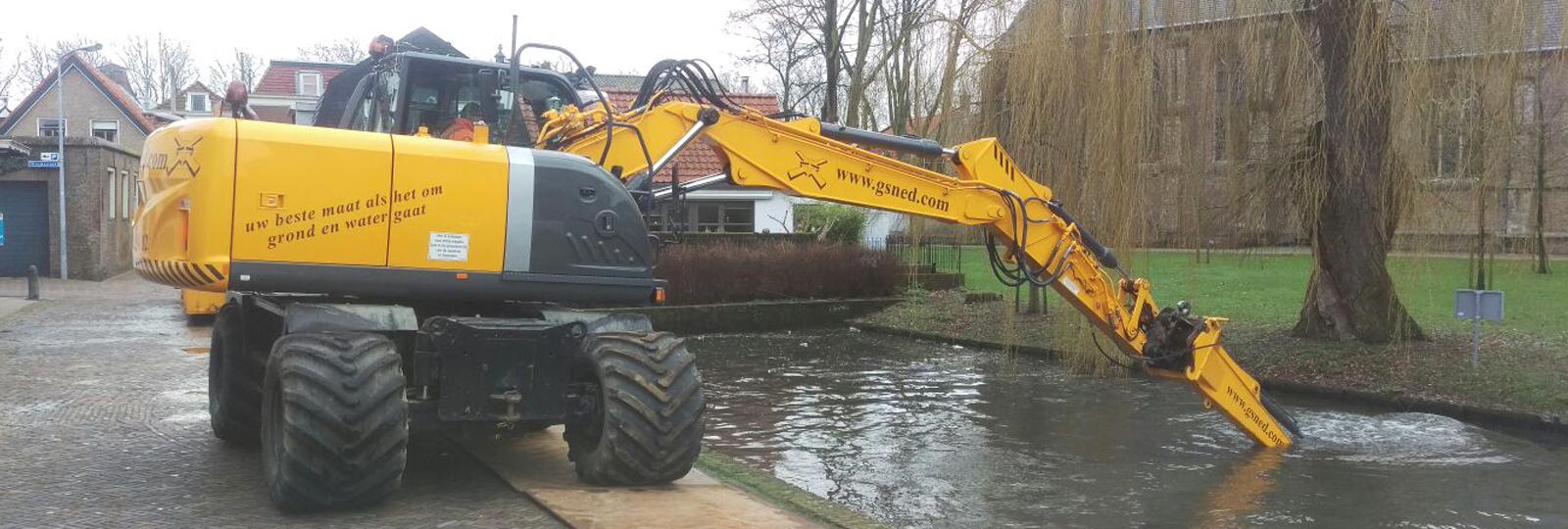
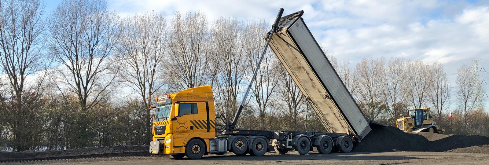
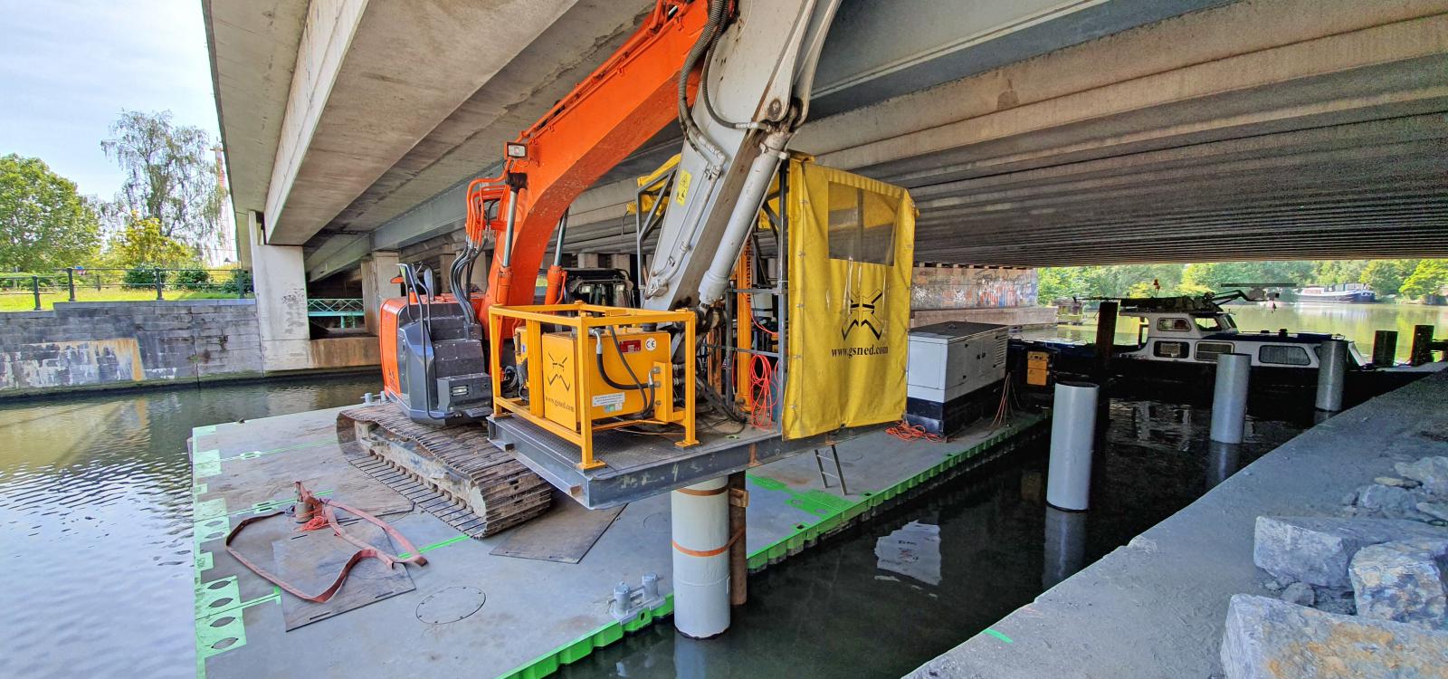
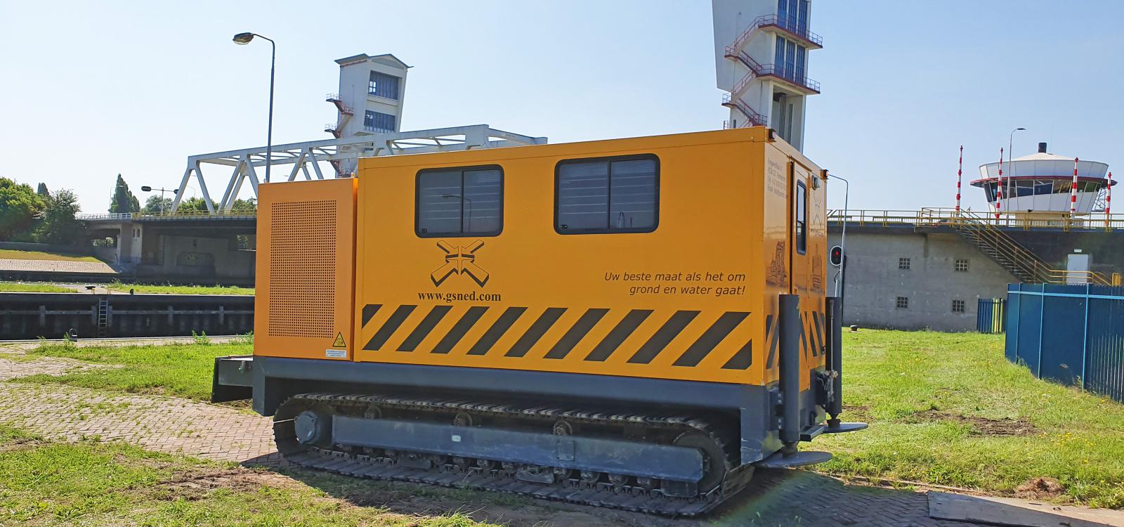
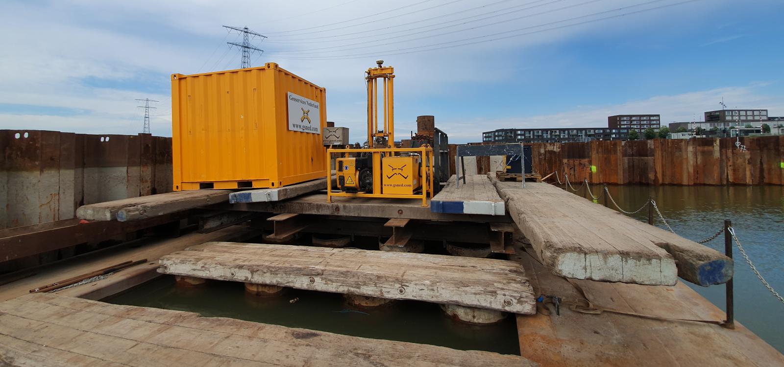
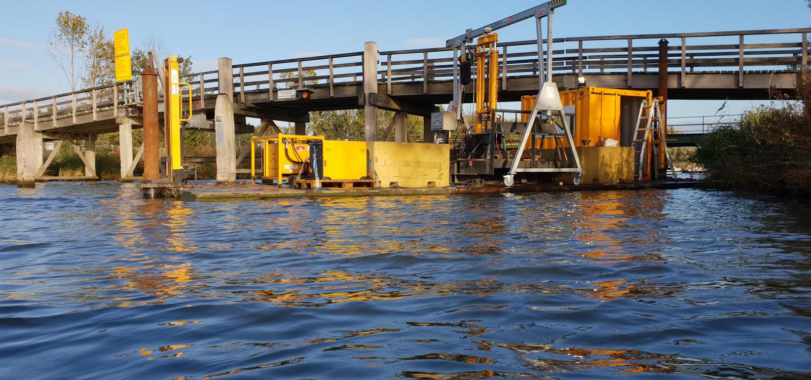
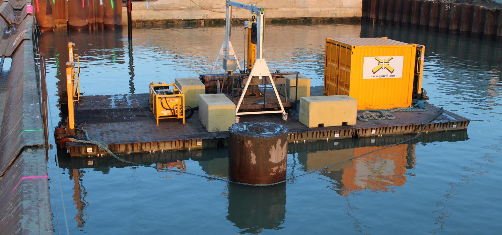
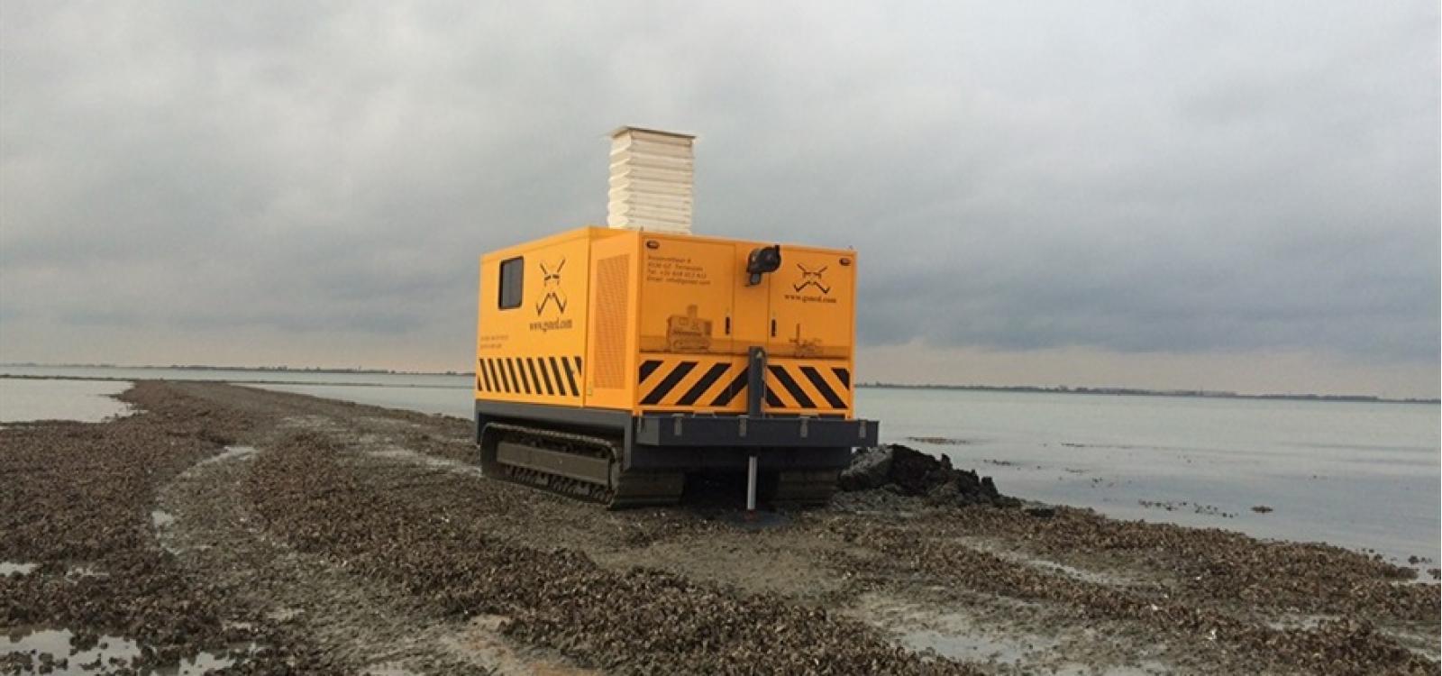
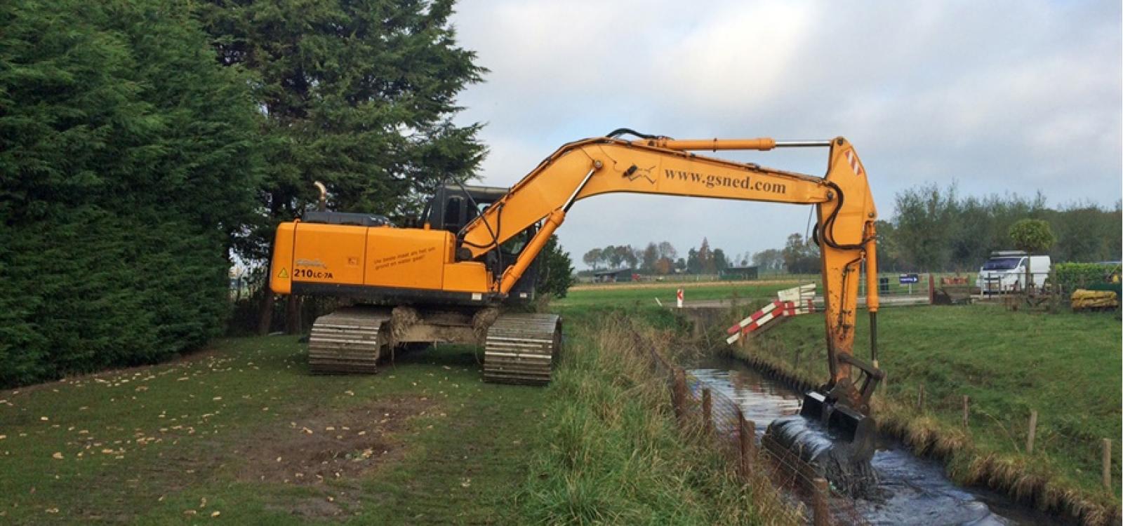
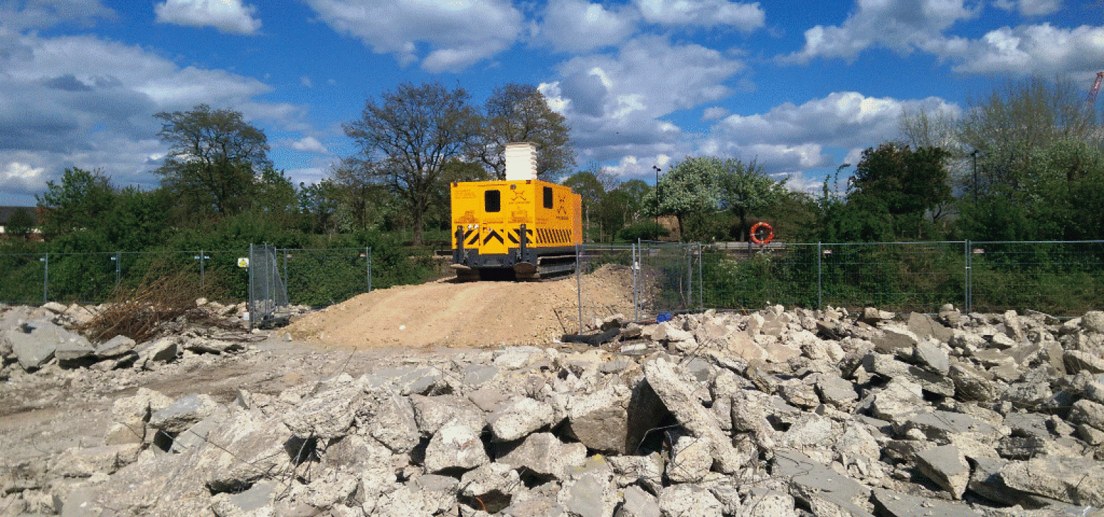
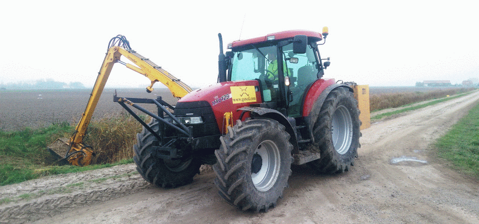
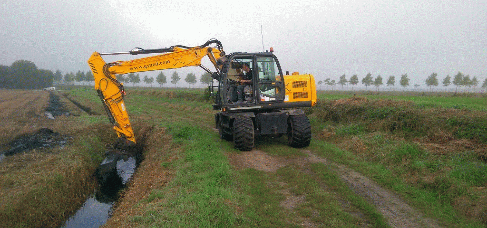
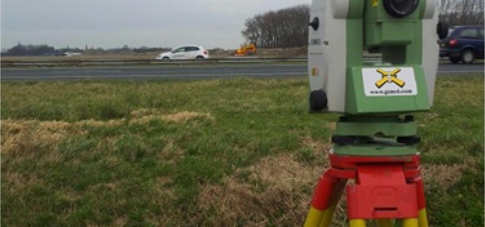
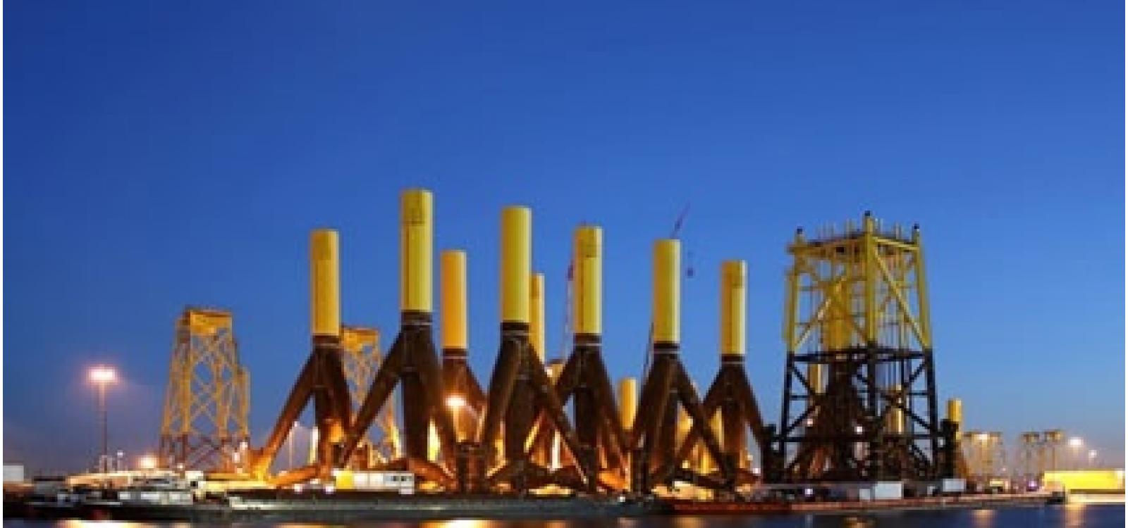
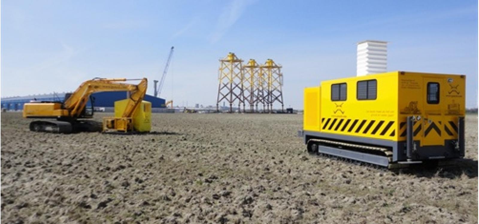
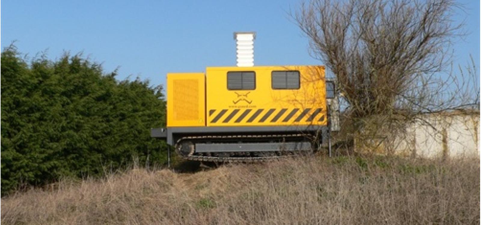
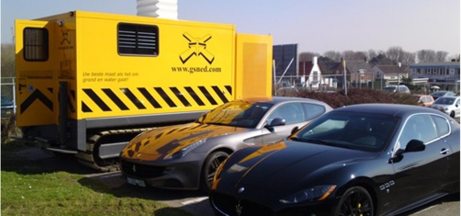
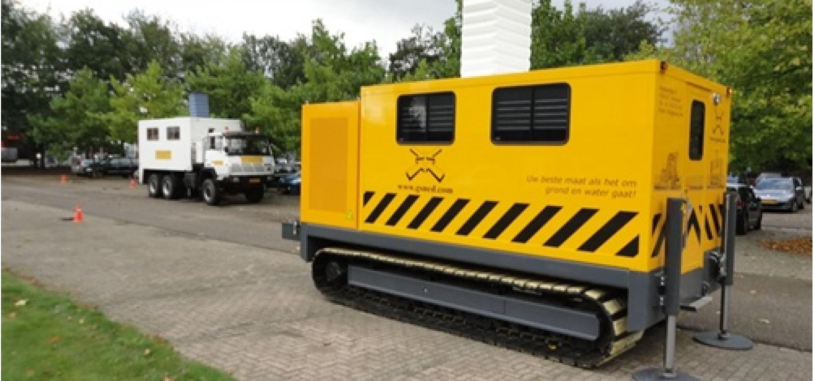
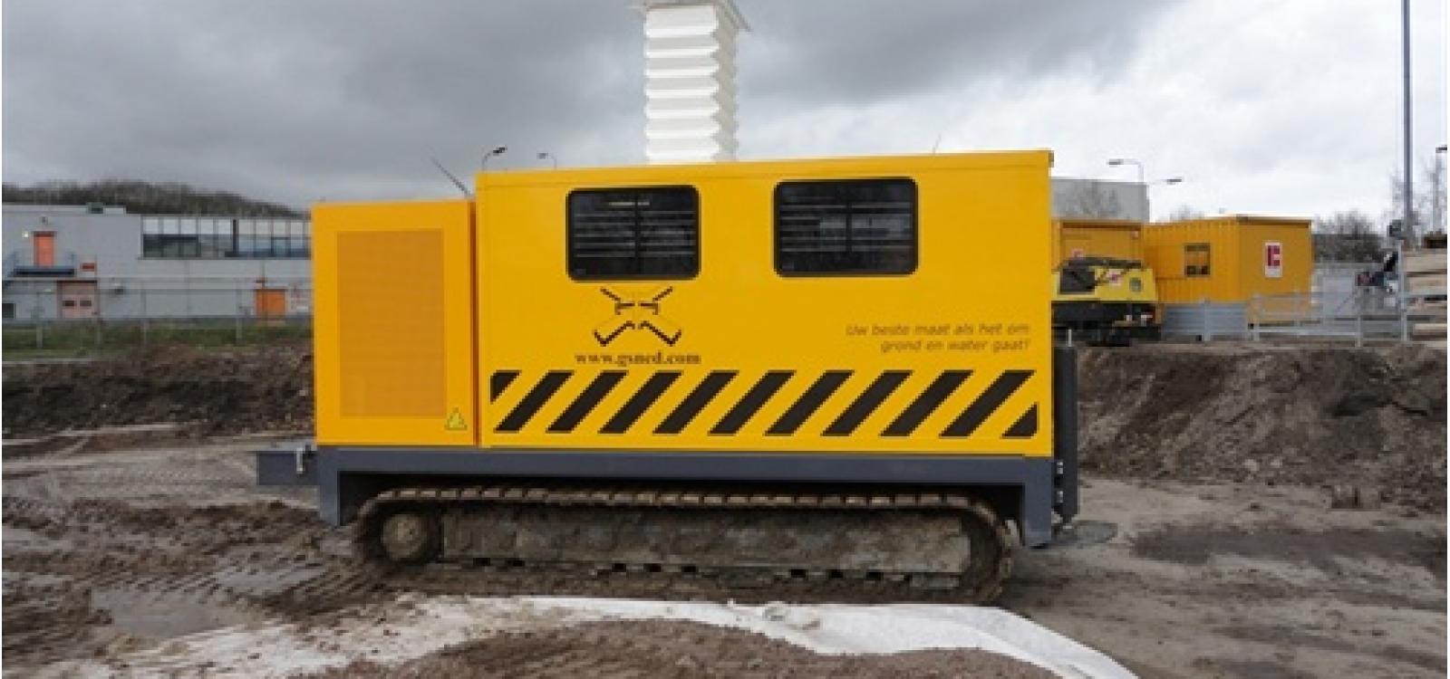
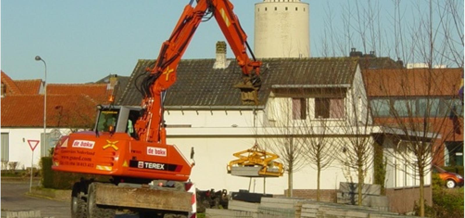
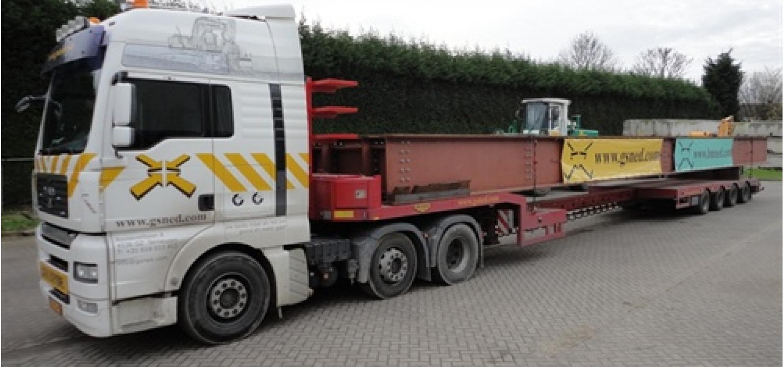
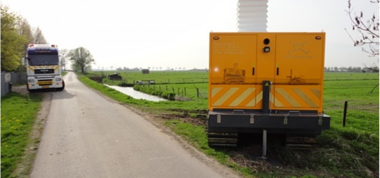
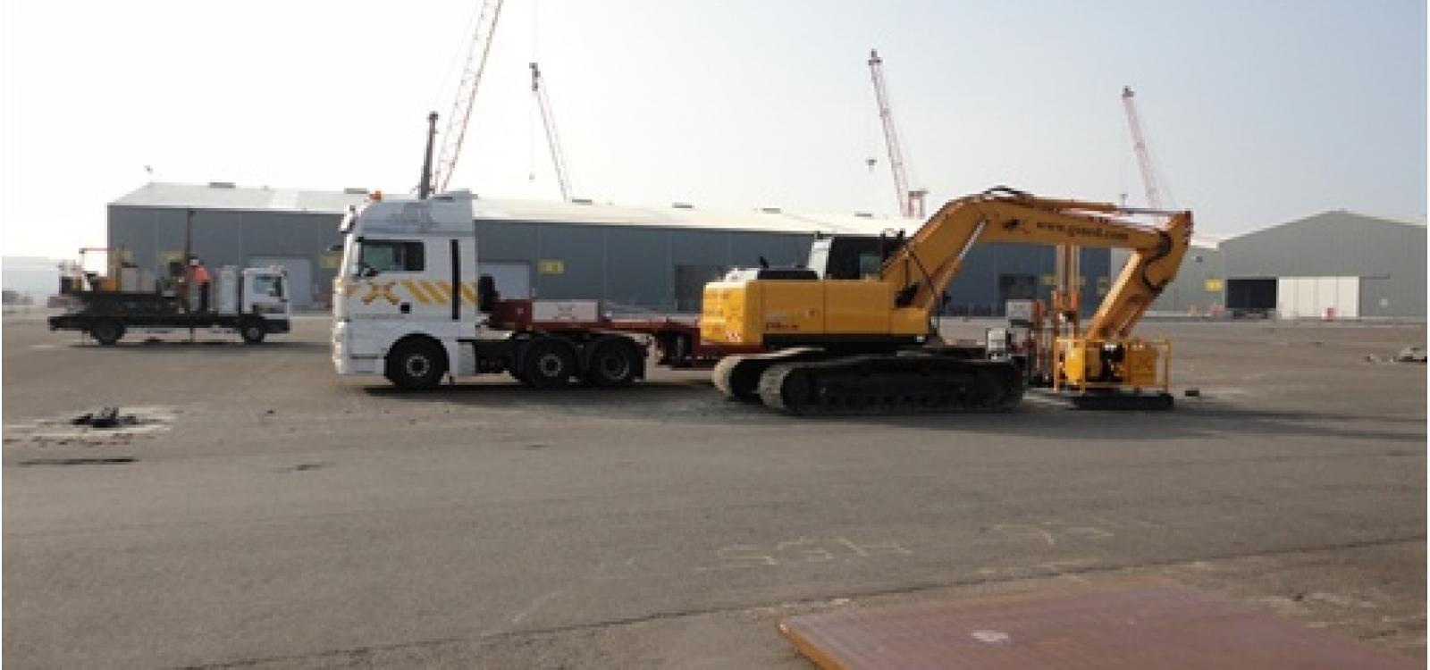
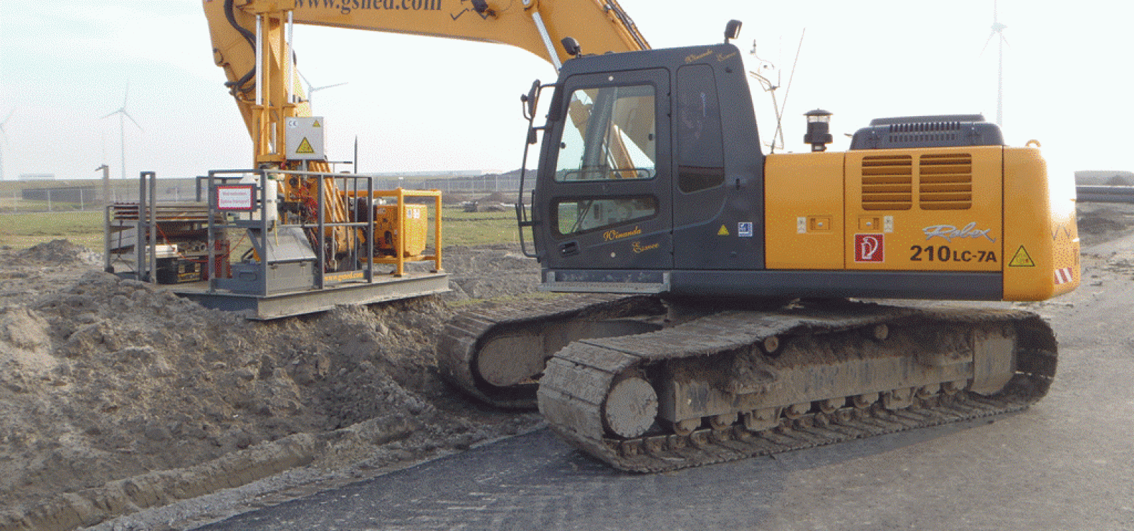
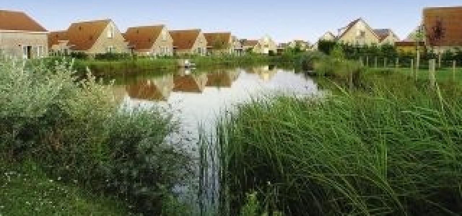
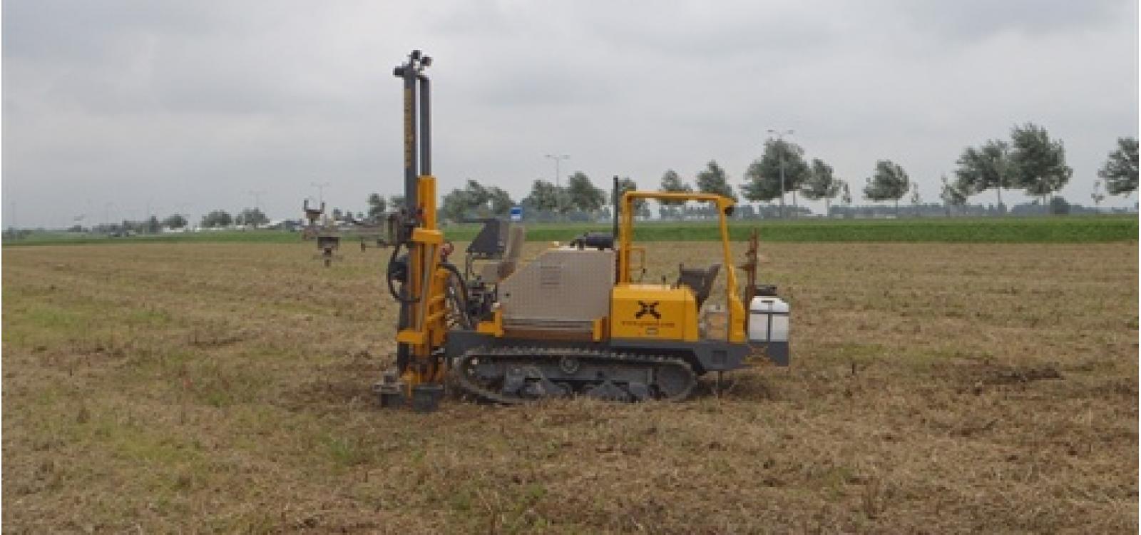
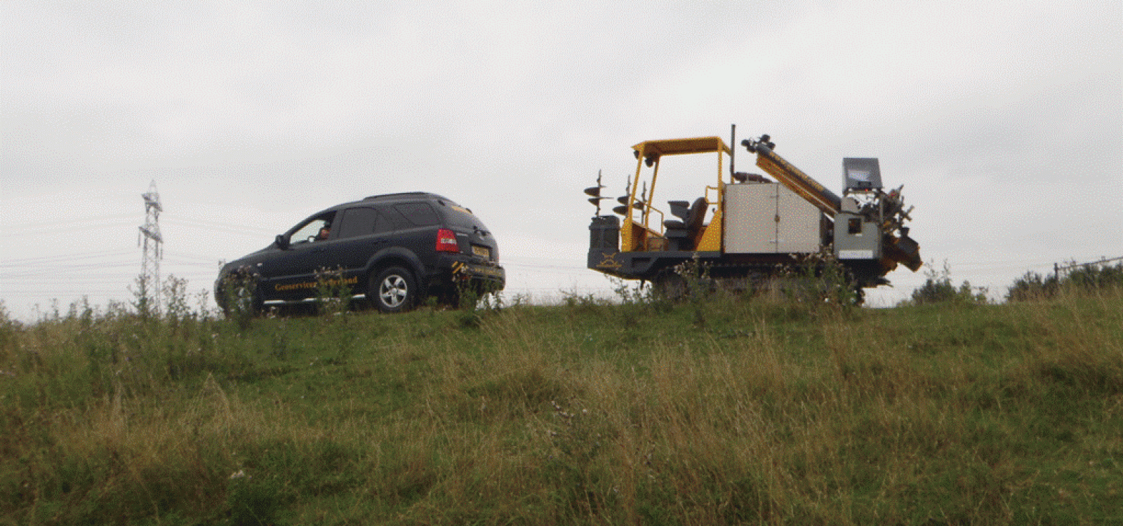
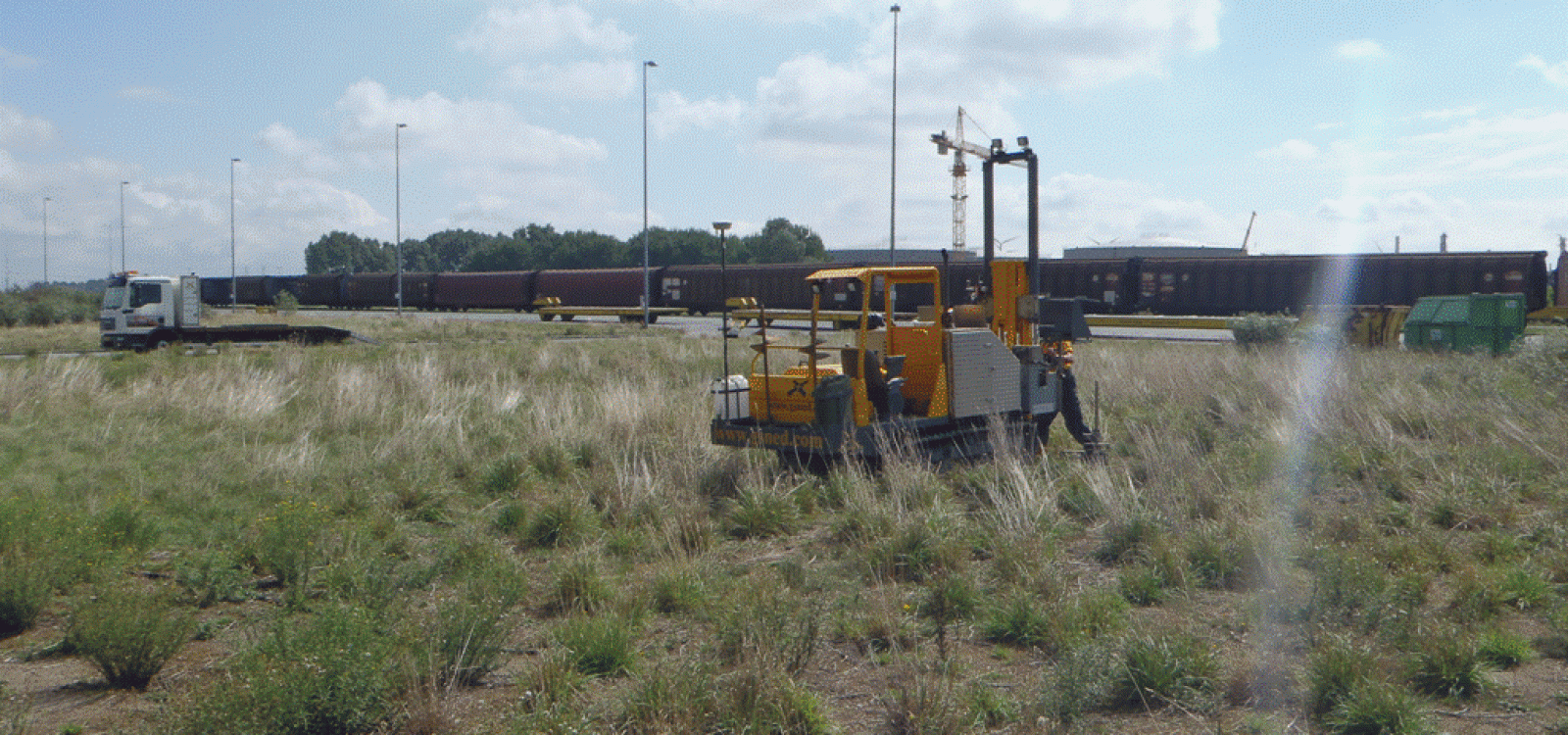
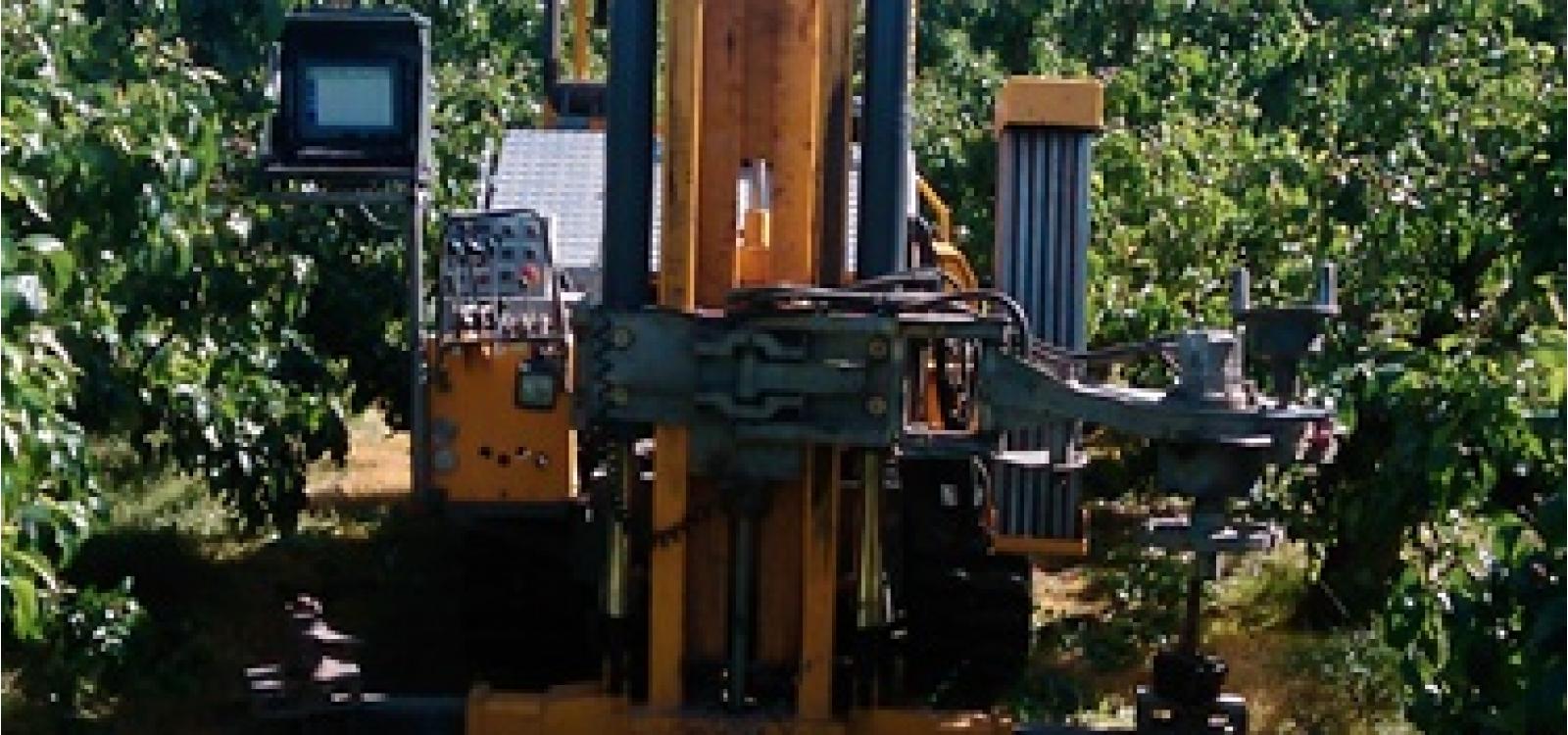
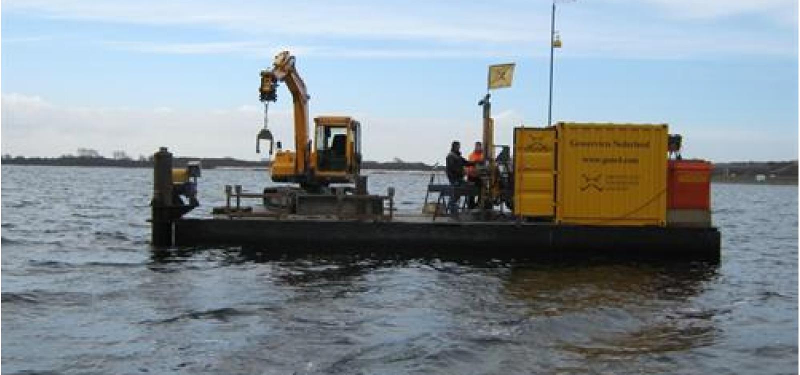
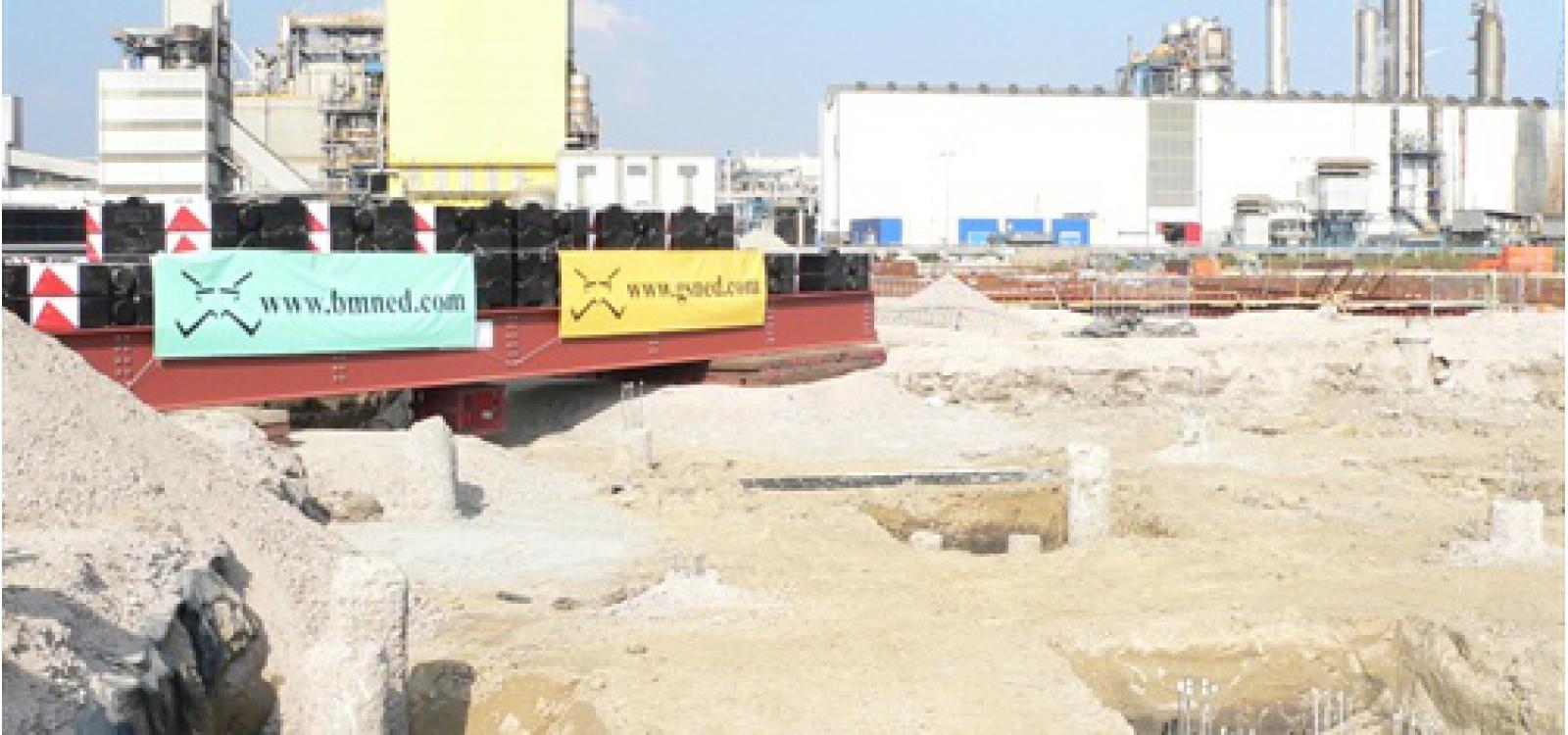
GSNED is actief op het gebied van sonderingen op land en water, meetwerken, sloopwerken, grondverzet, verhuur en transport.

|
Chauffeur kippertrailer |
Allround |
||||
| Monteur Bekijk vacature |
Calculator / werkvoorbereider Bekijk vacature |
||||
Werken in een prettige en collegiale werksfeer? Kom ons team versterken!
Bekijk onze vacatures of neem direct contact met ons op via dit formulier of +31 115 620 927
Wij zijn actief op het gebied van sonderingen op land en water, meetwerken,
GWW, geodesie, sloopwerken, grondverzet, verhuur en transport.
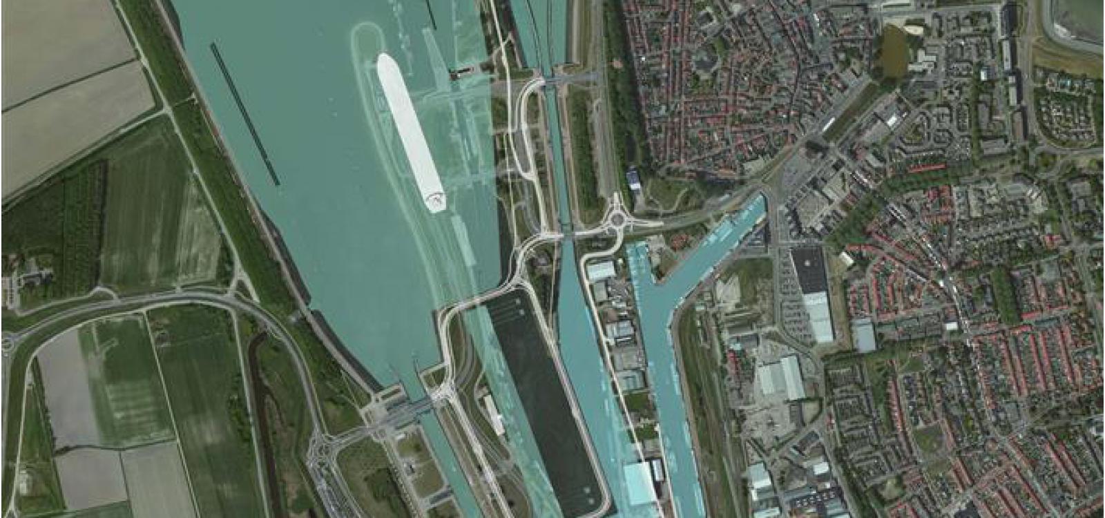
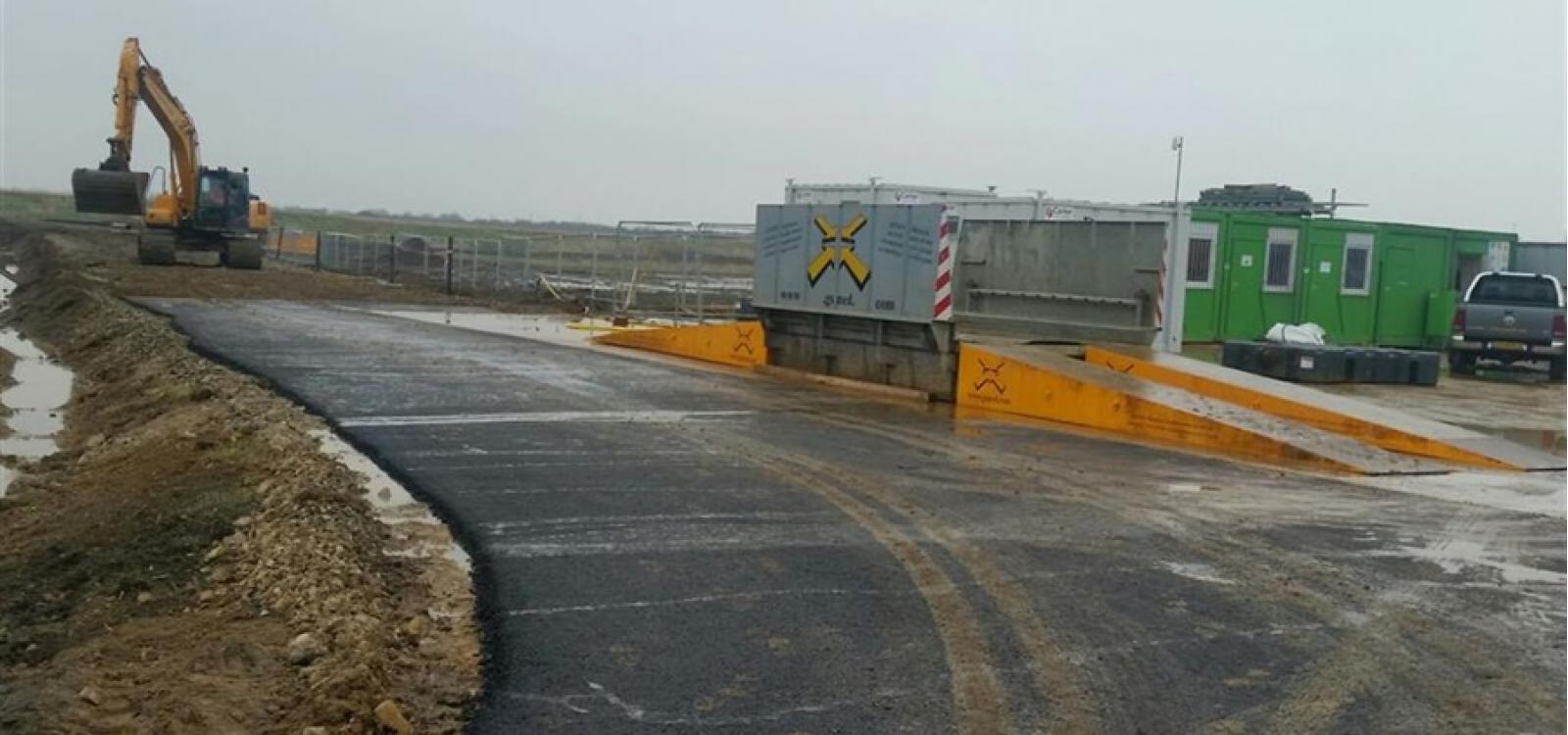
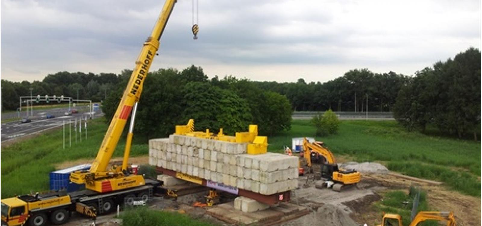
In Terneuzen wordt druk gebouwd aan een Nieuwe Sluis Terneuzen. Met een lengte van 427 meter, een breedte van 55 meter en een diepte van 16,44 meter wordt de Nieuwe Sluis een van de grootste sluizen ter wereld. Qua afmetingen is de Terneuzense sluis vergelijkbaar met de sluizen in het Panamakanaal, maar net wat kleiner dan de Kieldrechtsluis bij Antwerpen (in 2016 in gebruik genomen) en de nieuwe zeesluis in IJmuiden, die begin 2022 wordt opgeleverd.
Wat is GMP+ certificering?
Bedrijven uit de diervoedersector kunnen overgaan tot de Good Manufacturing / Managing Practice. Deze regeling, beter bekend als de GMP-regeling, maakt het voor bedrijven aantoonbaar dat diervoeders en ingrediënten voor diervoeders voldoen aan de wettelijke voorschriften en aan bovenwettelijke eisen, overeengekomen met ketenpartijen. Deze regeling is met name bedoeld voor levensmiddelenbedrijven die restproducten afzetten in de diervoedersector.